|
search place name
|
||
Umm Dawm (Al Kharţūm, Sudan)Umm Dawm is a town in the Al Kharţūm region of Sudan. An overview map of the region around Umm Dawm is displayed below.
regional and 3d topo map of Umm Dawm, Sudan ::

Umm Dawm airports ::
The nearest airport is KRT - Khartoum, located 10.6 km north west of Umm Dawm.
Nearby towns ::
Ḩujayrāt (2.6km south west) //
Sawbā Gharb (3.6km south east) //
Karkawj (5.1km north west) //
Sawbā aţ Ţayyib (5.7km east) //
Jurayf Sharq (6.3km north west) //
Sawbā Sharq (7.7km south east) //
Wad Ḩusayn (9.1km south west) //
Burrī ad Darāʼisah (10.3km north west) //
Burrī al Maḩas (11.1km north west) //
[all distances 'as the bird flies' and approximate] 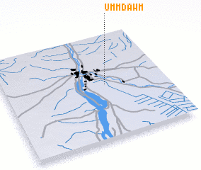 Places with similar names to Umm Dawm, Sudan ::
// Umm Dūmah (EG)
// Umudum (TR)
// Umm Dam (SD)
// Umm Dam (SD)
// Umm Dawmah (SD)
// Umm Buţaymah (JO)
// Umu Dim (NG)
// Umudim (NG)
// Umudim (NG)
// Umudim (NG)
Disclaimer :: Information on this page comes without warranty of any kind |
||
|
Where is Umm Dawm? Elevation and coordinates ::
Latitude (lat): 15°32'0"N Longitude (lon): 32°38'0"E
Elevation (approx.): 384m (map arrows pan, magnifying glasses zoom) |
||
|
Visiting Umm Dawm? Hotel/Accommodation ::
Book a hotel in Umm Dawm Travel Guide ::
Buy a travel guide for Sudan rental cars ::
car rental offers GPS waypoint ::
download a GPX waypoint (PoI) of Umm Dawm for your GPS receiver
|
||