|
search place name
|
||
Nhaulem (Guinea-Bissau)Nhaulem is a town in Guinea-Bissau. An overview map of the region around Nhaulem is displayed below.
regional and 3d topo map of Nhaulem, Guinea-Bissau ::

Nhaulem airports ::
The nearest airport is BXO - Bissau Oswaldo Vieira Intl, located 175.1 km west of Nhaulem.
Other airports nearby include TUD - Tambacounda (181.2 km north), KGG - Kedougou (206.2 km east), FIG - Fira Fria (206.3 km south), LEK - Labe (214.4 km south east), Nearby towns ::
Madina Balaquebo (1.9km south) //
Saludinca (4.1km north east) //
Cabuca (4.1km south east) //
Paunto (7.6km north) //
Camalijà (7.6km north) //
Madina Seco (8.1km north west) //
Camboido (9.2km north west) //
[all distances 'as the bird flies' and approximate] 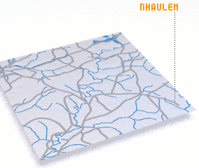 Places with similar names to Nhaulem, Guinea-Bissau ::
// Nehalem (US)
// Nihālāmba (IN)
// Nehelma (LK)
// Newhalem (US)
// Nho Lâm (VN)
// Nho Lâm (VN)
// Nho Lâm (VN)
// Nho Lâm (VN)
// Nho Lâm (1) (VN)
// Nho Lãm (1) (VN)
Disclaimer :: Information on this page comes without warranty of any kind |
||
|
Where is Nhaulem? Elevation and coordinates ::
Latitude (lat): 12°9'0"N Longitude (lon): 14°4'0"W
Elevation (approx.): 85m (map arrows pan, magnifying glasses zoom) |
||
|
Visiting Nhaulem? Hotel/Accommodation ::
Book a hotel in Nhaulem Travel Guide ::
rental cars ::
car rental offers GPS waypoint ::
download a GPX waypoint (PoI) of Nhaulem for your GPS receiver
|
||