|
search place name
|
||
Quebá Jilã (Guinea-Bissau)Quebá Jilã is a town in Guinea-Bissau. An overview map of the region around Quebá Jilã is displayed below.
regional and 3d topo map of Quebá Jilã, Guinea-Bissau ::

Quebá Jilã airports ::
The nearest airport is BXO - Bissau Oswaldo Vieira Intl, located 77.6 km west of Quebá Jilã.
Other airports nearby include ZIG - Ziguinchor (148.7 km west), CSK - Cap Skiring (194.2 km west), BJL - Banjul Intl (225.0 km north west), TUD - Tambacounda (228.7 km north east), Nearby towns ::
Cossarandim (1.8km east) //
Sinchã Lama (2.6km north east) //
Salà (4.1km north east) //
Banir (4.1km north west) //
Sinchã Banir (5.2km north west) //
Belel (5.8km south west) //
Mansoná (6.6km north east) //
Madina (7.4km south) //
Sinchã Camisa (7.4km south) //
Patè Gidè (7.2km east) //
Sancorlá (7.5km east) //
Tumaná (8.1km south east) //
Biassa (8.1km south east) //
Mato Madeira (9.1km south east) //
Cherel (9.2km south west) //
Dembel Jule (10.4km north east) //
[all distances 'as the bird flies' and approximate] 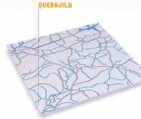 Places with similar names to Quebá Jilã, Guinea-Bissau ::
Disclaimer :: Information on this page comes without warranty of any kind |
||
|
Where is Quebá Jilã? Elevation and coordinates ::
Latitude (lat): 12°8'0"N Longitude (lon): 14°59'0"W
Elevation (approx.): 23m (map arrows pan, magnifying glasses zoom) |
||
|
Visiting Quebá Jilã? Hotel/Accommodation ::
Book a hotel in Quebá Jilã Travel Guide ::
rental cars ::
car rental offers GPS waypoint ::
download a GPX waypoint (PoI) of Quebá Jilã for your GPS receiver
|
||