|
search place name
|
||
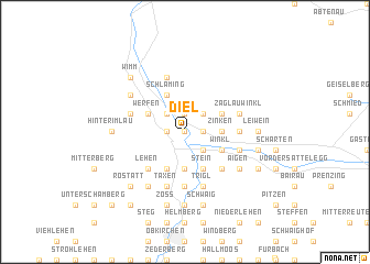
Diel (Salzburg, Austria)Diel is a town in the Salzburg region of Austria. An overview map of the region around Diel is displayed below.
regional and 3d topo map of Diel, Austria ::
nearby GPS traces from timatio ::
Diel airports ::
The nearest airport is SZG - Salzburg, located 41.4 km north west of Diel.
Other airports nearby include LNZ - Linz (Horsching) (113.4 km north east), KLU - Klagenfurt (Worthersee Intl) (123.8 km south east), INN - Innsbruck (143.0 km west), MUC - Munich Munchen (146.8 km north west), Nearby towns ::
Salzachgrub (0.0km north) //
Spareck (1.3km east) //
Mühlau (1.3km east) //
Bichl (1.3km east) //
Mandlegg (1.3km east) //
Maxlhub (1.3km east) //
Mühlbach (1.3km east) //
Dorfwerfen (1.9km north) //
Laubichl (1.9km north) //
Oberschwabegg (1.3km west) //
Reitsam (1.3km west) //
Oberegg (2.2km north east) //
Unteregg (2.2km north east) //
Lehen (2.2km north east) //
Lampersbach (2.2km north east) //
Buchberg (2.2km south east) //
Ellmauthal (2.2km south east) //
Grießl (2.2km north west) //
Thurn (2.5km east) //
Stein (2.5km east) //
Gschwandt (2.5km east) //
Grub (2.5km east) //
Dorf (2.5km east) //
Zinken (2.5km east) //
Bischofshofen (3.7km south) //
Stein (3.9km south) //
Kreuzberg (3.9km south) //
Lehen (3.9km south) //
Moos (3.9km south) //
[all distances 'as the bird flies' and approximate]  Places with similar names to Diel, Austria ::
Disclaimer :: Information on this page comes without warranty of any kind |
||
|
Where is Diel? Elevation and coordinates ::
Latitude (lat): 47°27'0"N Longitude (lon): 13°13'0"E
Elevation (approx.): 642m (map arrows pan, magnifying glasses zoom) |
||
|
Visiting Diel? Hotel/Accommodation ::
Book a hotel in Diel Travel Guide ::
Buy a travel guide for Austria rental cars ::
car rental offers GPS waypoint ::
download a GPX waypoint (PoI) of Diel for your GPS receiver
|
||