|
search place name
|
||
Obersonnberg (Steiermark, Austria)Obersonnberg is a town in the Steiermark region of Austria. An overview map of the region around Obersonnberg is displayed below.
regional and 3d topo map of Obersonnberg, Austria ::

Obersonnberg airports ::
The nearest airport is LNZ - Linz (Horsching), located 82.4 km north of Obersonnberg.
Other airports nearby include GRZ - Graz (94.0 km south east), KLU - Klagenfurt (Worthersee Intl) (97.7 km south), SZG - Salzburg (114.1 km west), LJU - Ljubliana Ljubljana (143.7 km south), Nearby towns ::
Äußerer Sonnberg (1.3km west) //
Dietmannsdorf bei Trieben (1.9km south) //
Hallweg (2.2km north west) //
Lorenzergraben (2.2km south west) //
Sankt Lorenzen im Paltental (2.2km south west) //
Paradies (3.7km north) //
Bärndorf (2.5km west) //
Schwarzenbach (3.7km south) //
Untersonnberg (3.1km south east) //
Trieben (3.9km south) //
Hinterberg (3.1km south west) //
Poderer (3.1km south west) //
Edlach (3.1km south west) //
Kematen (5.6km north) //
Oberhofsiedlung (5.6km north) //
Innerer Sonnberg (3.8km west) //
Sunk (5.7km south) //
Admont (5.7km north) //
Kreuzberg (5.7km north) //
Poierer (4.2km south west) //
Au bei Gaishorn (5.3km south east) //
Ennsviertel (7.4km north) //
Einöd (5.0km west) //
Demel (7.5km north) //
Schönausiedlung (5.3km east) //
Sonnberg (5.3km east) //
Größing (5.3km east) //
Büschendorf (5.3km west) //
Singsdorf (5.3km west) //
[all distances 'as the bird flies' and approximate] 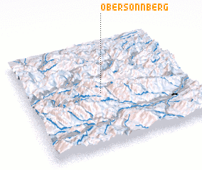 Places with similar names to Obersonnberg, Austria ::
// Obersonnberg (AT)
Disclaimer :: Information on this page comes without warranty of any kind |
||
|
Where is Obersonnberg? Elevation and coordinates ::
Latitude (lat): 47°31'0"N Longitude (lon): 14°28'0"E
Elevation (approx.): 1053m (map arrows pan, magnifying glasses zoom) |
||
|
Visiting Obersonnberg? Hotel/Accommodation ::
Book a hotel in Obersonnberg Travel Guide ::
Buy a travel guide for Austria rental cars ::
car rental offers GPS waypoint ::
download a GPX waypoint (PoI) of Obersonnberg for your GPS receiver
|
||