|
search place name
|
||
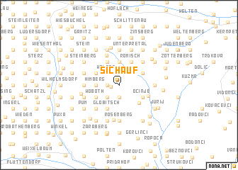
Sichauf (Steiermark, Austria)Sichauf is a town in the Steiermark region of Austria. An overview map of the region around Sichauf is displayed below.
regional and 3d topo map of Sichauf, Austria ::
Sichauf airports ::
The nearest airport is GRZ - Graz, located 45.0 km north west of Sichauf.
Other airports nearby include MBX - Maribor (45.4 km south west), ZAG - Zagreb (121.4 km south), KLU - Klagenfurt (Worthersee Intl) (127.5 km west), LJU - Ljubliana Ljubljana (135.3 km south west), Nearby towns ::
Sankt Anna am Aigen (0.9km west) //
Plesch (1.3km west) //
Gaisruck (1.3km west) //
Hochstraden (1.3km west) //
Rutschen (1.3km west) //
Schemming (1.3km west) //
Aigen (1.9km south) //
Weinberg (1.9km south) //
Klappinger Markt (2.2km south west) //
Risola (2.2km south west) //
Risolaberg (2.2km south west) //
Stindlkreuz (2.2km north west) //
Egg (2.2km north west) //
Waltra (2.2km north west) //
Rorberberg (2.2km north east) //
Himberg (2.5km west) //
Globitsch (2.5km west) //
Damberg (2.5km west) //
Eisenberg (2.5km west) //
Liedtberg (3.7km north) //
Neustift (3.7km north) //
Lahmbach (3.7km north) //
Woboth (3.1km south west) //
Globitsch (3.9km south) //
Kerschenberg (3.9km south) //
Pichl (3.1km north west) //
Jammberg (3.1km north west) //
Buch (3.1km north west) //
Ocinje (3.1km south east) //
[all distances 'as the bird flies' and approximate] 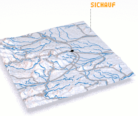 Places with similar names to Sichauf, Austria ::
Disclaimer :: Information on this page comes without warranty of any kind |
||
|
Where is Sichauf? Elevation and coordinates ::
Latitude (lat): 46°50'0"N Longitude (lon): 15°59'0"E
Elevation (approx.): 327m (map arrows pan, magnifying glasses zoom) |
||
|
Visiting Sichauf? Hotel/Accommodation ::
Book a hotel in Sichauf Travel Guide ::
Buy a travel guide for Austria rental cars ::
car rental offers GPS waypoint ::
download a GPX waypoint (PoI) of Sichauf for your GPS receiver
|
||