|
search place name
|
||
Artlenburg (Niedersachsen, Germany)Artlenburg is a town in the Niedersachsen region of Germany. An overview map of the region around Artlenburg is displayed below.
regional and 3d topo map of Artlenburg, Germany ::

Artlenburg airports ::
The nearest airport is HAM - Hamburg, located 44.9 km north west of Artlenburg.
Other airports nearby include XFW - Hamburg Finkenwerder (47.9 km north west), LBC - Luebeck Lubeck Blankensee (50.9 km north), SZW - Schwerin Parchim (85.6 km east), ZCN - Celle (92.1 km south), Nearby towns ::
Schnakenbek (1.9km north) //
Krüzen (4.3km north east) //
Echem (4.3km south east) //
Juliusburg (5.6km north) //
Hohnstorf (3.3km east) //
Avendorf (3.8km north west) //
Krukow (5.7km north) //
Lüdershausen (3.8km south west) //
Brietlingen (5.0km south west) //
Lauenburg (4.4km east) //
Buchhorst (4.8km north east) //
Bullendorf (4.8km south east) //
Scharnebeck (7.5km south) //
Moorburg (6.5km south west) //
Tesperhude (5.8km north west) //
Lütau (8.1km north east) //
Wiershop (8.1km north west) //
Grünhof (7.1km north west) //
Lüdersburg (7.1km south east) //
[all distances 'as the bird flies' and approximate] 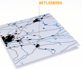 Places with similar names to Artlenburg, Germany :: Disclaimer :: Information on this page comes without warranty of any kind |
||
|
Where is Artlenburg? Elevation and coordinates ::
Latitude (lat): 53°22'0"N Longitude (lon): 10°30'0"E
Elevation (approx.): 4m (map arrows pan, magnifying glasses zoom) |
||
|
Visiting Artlenburg? Hotel/Accommodation ::
Book a hotel in Artlenburg Travel Guide ::
Buy a travel guide for Germany rental cars ::
car rental offers GPS waypoint ::
download a GPX waypoint (PoI) of Artlenburg for your GPS receiver
|
||