|
search place name
|
||
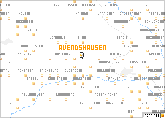
Avendshausen (Niedersachsen, Germany)Avendshausen is a town in the Niedersachsen region of Germany. An overview map of the region around Avendshausen is displayed below.
regional and 3d topo map of Avendshausen, Germany ::
Avendshausen airports ::
The nearest airport is KSF - Kassel Calden, located 56.6 km south west of Avendshausen.
Other airports nearby include HAJ - Hannover (68.3 km north), BWE - Braunschweig Wolfsburg (74.4 km north east), ZCN - Celle (84.1 km north), PAD - Paderborn Lippstadt (84.8 km west), Nearby towns ::
Rengershausen (1.1km west) //
Amelsen (2.2km south west) //
Vardeilsen (2.2km south east) //
Eimen (3.7km north) //
Portenhagen (2.3km west) //
Markoldendorf (3.7km south) //
Bartshausen (2.3km east) //
Oldendorf (3.9km south) //
Holtensen (3.9km south) //
Wenzen (2.9km north east) //
Mainzholzen (4.4km north west) //
Wellersen (5.6km south) //
Hoppensen (5.7km south) //
Kohnsen (3.9km south east) //
Hallensen (3.9km north east) //
Vorwohle (5.1km north west) //
Hullersen (5.1km south east) //
Deitersen (5.1km south west) //
Eilensen (5.1km south west) //
Ellensen (6.0km south) //
Lüthorst (4.6km west) //
Kuventhal (4.6km east) //
Dassensen (7.5km south) //
Voldagsen (4.9km east) //
Krimmensen (6.5km south west) //
Erichsburg (5.9km south west) //
Pinkler (7.2km south east) //
[all distances 'as the bird flies' and approximate] 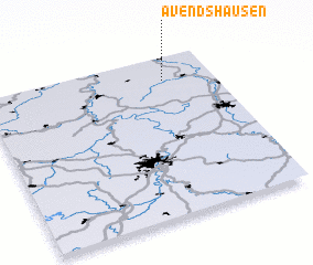 Places with similar names to Avendshausen, Germany :: Disclaimer :: Information on this page comes without warranty of any kind |
||
|
Where is Avendshausen? Elevation and coordinates ::
Latitude (lat): 51°51'0"N Longitude (lon): 9°47'0"E
Elevation (approx.): 223m (map arrows pan, magnifying glasses zoom) |
||
|
Visiting Avendshausen? Hotel/Accommodation ::
Book a hotel in Avendshausen Travel Guide ::
Buy a travel guide for Germany rental cars ::
car rental offers GPS waypoint ::
download a GPX waypoint (PoI) of Avendshausen for your GPS receiver
|
||