|
search place name
|
||
Beerbaum (Brandenburg, Germany)Beerbaum is a town in the Brandenburg region of Germany. An overview map of the region around Beerbaum is displayed below.
regional and 3d topo map of Beerbaum, Germany ::

Beerbaum airports ::
The nearest airport is THF - Berlin Tempelhof, located 39.5 km south west of Beerbaum.
Other airports nearby include TXL - Berlin Tegel (39.7 km south west), SXF - Berlin Schonefeld (43.6 km south west), SZZ - Szczechin Goleniow (120.1 km north east), IEG - Zielona Gora Babimost (151.2 km south east), Nearby towns ::
Tuchen-Klobbicke (2.2km north west) //
Tuchen (2.2km north west) //
Klobbicke (3.7km north) //
Beiersdorf (3.9km south) //
Freudenberg (3.9km south) //
Heckelberg (3.4km east) //
Trampe (6.0km north) //
Schönholz (6.0km north) //
Brunow (4.5km east) //
Werftpfuhl (7.5km south) //
Friedrich-Wilhelmshof (4.9km west) //
Tiefensee (6.5km south east) //
Klara-Zetkin-Siedlung (5.8km south east) //
Schönfeld (7.1km south west) //
[all distances 'as the bird flies' and approximate] 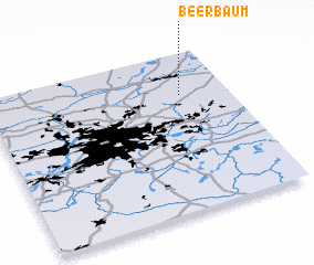
Disclaimer :: Information on this page comes without warranty of any kind |
||
|
Where is Beerbaum? Elevation and coordinates ::
Latitude (lat): 52°44'0"N Longitude (lon): 13°48'0"E
Elevation (approx.): 88m (map arrows pan, magnifying glasses zoom) |
||
|
Visiting Beerbaum? Hotel/Accommodation ::
Book a hotel in Beerbaum Travel Guide ::
Buy a travel guide for Germany rental cars ::
car rental offers GPS waypoint ::
download a GPX waypoint (PoI) of Beerbaum for your GPS receiver
|
||