|
search place name
|
||
Bestenheid (Baden-Württemberg, Germany)Bestenheid is a town in the Baden-Württemberg region of Germany. An overview map of the region around Bestenheid is displayed below.
regional and 3d topo map of Bestenheid, Germany ::

Bestenheid airports ::
The nearest airport is GHF - Giebelstadt Aaf, located 37.0 km south east of Bestenheid.
Other airports nearby include ZNF - Hanau Aaf (57.7 km north west), FRA - Frankfurt Main (73.7 km west), MHG - Mannheim City (79.0 km south west), ZQC - Speyer (92.6 km south west), Nearby towns ::
Hasloch (1.1km north) //
Kreuzwertheim (2.3km south east) //
Hasselberg (2.7km north west) //
Wertheim (2.9km south) //
Grünenwört (2.3km south west) //
Barthelsmühle (3.8km north) //
Eisenhammer (3.8km north) //
Vockenroth (3.8km south) //
Neuhof (3.8km south) //
Wiebelbach (2.8km north east) //
Röttbach (3.3km north east) //
Waldenhausen (4.7km south east) //
Eichel (3.7km south east) //
Sachsenhausen (5.7km south) //
Michelrieth (5.4km north east) //
Faulbach (3.8km west) //
Breitenbrunn (4.4km north west) //
Oedengesäß (5.9km south) //
Unterwittbach (4.6km north east) //
Oberwittbach (5.1km north east) //
Schollbrunn (6.3km north) //
Gußhof (5.0km north west) //
Bettingen (4.9km east) //
Ernsthof (7.4km south) //
Reicholzheim (6.7km south east) //
Nassig (6.4km south west) //
Dörlesberg (7.7km south) //
Kredenbach (7.9km north) //
Esselbach (8.3km north) //
[all distances 'as the bird flies' and approximate] 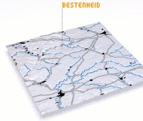 Places with similar names to Bestenheid, Germany ::
// Bezuidenhout (NL)
Disclaimer :: Information on this page comes without warranty of any kind |
||
|
Where is Bestenheid? Elevation and coordinates ::
Latitude (lat): 49°46'57"N Longitude (lon): 9°29'51"E
Elevation (approx.): 155m (map arrows pan, magnifying glasses zoom) |
||
|
Visiting Bestenheid? Hotel/Accommodation ::
Book a hotel in Bestenheid Travel Guide ::
Buy a travel guide for Germany rental cars ::
car rental offers GPS waypoint ::
download a GPX waypoint (PoI) of Bestenheid for your GPS receiver
|
||