|
search place name
|
||
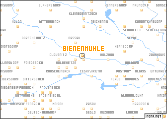
Bienenmühle (Sachsen, Germany)Bienenmühle is a town in the Sachsen region of Germany. An overview map of the region around Bienenmühle is displayed below.
regional and 3d topo map of Bienenmühle, Germany ::
Bienenmühle airports ::
The nearest airport is DRS - Dresden, located 47.0 km north of Bienenmühle.
Other airports nearby include KLV - Karlovy Vary (74.2 km south west), AOC - Altenburg Nobitz (78.5 km west), BBJ - Bautzen (85.2 km north east), PRG - Prague Ruzyne (86.6 km south east), Nearby towns ::
Rechenberg (0.0km north) //
Neuclausnitz (1.2km west) //
Rechenberg-Bienenmühle (1.2km west) //
Deutschgeorgenthal (2.2km south west) //
Halbe Metze (3.0km south west) //
Český Jiřetín (3.9km south) //
Nassau (3.9km north) //
Neuwernsdorf (4.4km south west) //
Holzhau (3.5km east) //
Clausnitz (3.5km west) //
Cämmerswalde (4.0km south west) //
Rauschenbach (5.1km south west) //
Frauenstein (7.4km north) //
Mackov (6.0km south east) //
Reichenau (7.8km north) //
Fláje (7.3km south east) //
Frauenbach (8.8km south west) //
Dittersbach (8.8km north west) //
[all distances 'as the bird flies' and approximate] 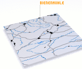 Places with similar names to Bienenmühle, Germany :: Disclaimer :: Information on this page comes without warranty of any kind |
||
|
Where is Bienenmühle? Elevation and coordinates ::
Latitude (lat): 50°44'0"N Longitude (lon): 13°33'0"E
Elevation (approx.): 629m (map arrows pan, magnifying glasses zoom) |
||
|
Visiting Bienenmühle? Hotel/Accommodation ::
Book a hotel in Bienenmühle Travel Guide ::
Buy a travel guide for Germany rental cars ::
car rental offers GPS waypoint ::
download a GPX waypoint (PoI) of Bienenmühle for your GPS receiver
|
||