|
search place name
|
||
Birkhof (Bayern, Germany)Birkhof is a town in the Bayern region of Germany. An overview map of the region around Birkhof is displayed below.
regional and 3d topo map of Birkhof, Germany ::

Birkhof airports ::
The nearest airport is BYU - Bayreuth, located 27.8 km north west of Birkhof.
Other airports nearby include HOQ - Hof Plauen (54.5 km north), NUE - Nuernberg Nurnberg (68.9 km south west), KLV - Karlovy Vary (85.5 km north east), AOC - Altenburg Nobitz (138.4 km north), Nearby towns ::
Trabitz (0.0km north) //
Kurbersdorf (0.0km north) //
Drahthammer (0.0km north) //
Feilersdorf (1.9km south) //
Feilershammer (1.9km south) //
Zessau (1.2km east) //
Hub (1.2km west) //
Grünbach (1.2km east) //
Burkhardsreuth (1.2km west) //
Troglau (1.9km north) //
Pichlberg (2.2km south west) //
Weha (2.2km north west) //
Unterbruck (2.2km north west) //
Grub (3.7km south) //
Preißach (2.4km west) //
Kastl (3.7km north) //
Zintlhammer (3.9km south) //
Weihersberg (3.0km south east) //
Zettlitz (3.0km south west) //
Gründlhut (3.0km north east) //
Altköslarn (3.0km north east) //
Filchendorf (3.0km north west) //
Wolframshof (3.9km north) //
Neuenreuth (3.9km north) //
Mühlhof (3.9km north) //
Haidhügl (3.9km north) //
Pressath (4.4km south east) //
Bärnwinkel (5.6km south) //
Barbaraberg (3.6km west) //
[all distances 'as the bird flies' and approximate] 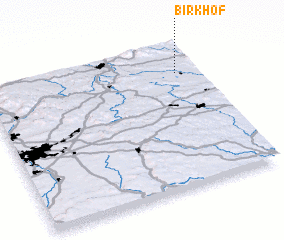 Places with similar names to Birkhof, Germany ::
Disclaimer :: Information on this page comes without warranty of any kind |
||
|
Where is Birkhof? Elevation and coordinates ::
Latitude (lat): 49°48'0"N Longitude (lon): 11°54'0"E
Elevation (approx.): 442m (map arrows pan, magnifying glasses zoom) |
||
|
Visiting Birkhof? Hotel/Accommodation ::
Book a hotel in Birkhof Travel Guide ::
Buy a travel guide for Germany rental cars ::
car rental offers GPS waypoint ::
download a GPX waypoint (PoI) of Birkhof for your GPS receiver
|
||