|
search place name
|
||
Blintendorf (Thüringen, Germany)Blintendorf is a town in the Thüringen region of Germany. An overview map of the region around Blintendorf is displayed below.
regional and 3d topo map of Blintendorf, Germany ::

Blintendorf airports ::
The nearest airport is HOQ - Hof Plauen, located 18.3 km south of Blintendorf.
Other airports nearby include BYU - Bayreuth (53.1 km south), AOC - Altenburg Nobitz (77.4 km north east), ERF - Erfurt (83.7 km north west), KLV - Karlovy Vary (84.0 km east), Nearby towns ::
Göritz (1.9km south) //
Seubtendorf (2.2km north east) //
Ullersreuth (2.2km south east) //
Göttengrün (2.4km east) //
Hohenpreiß (2.4km west) //
Frössen (2.4km west) //
Schilbach (3.9km north) //
Künsdorf (3.9km north) //
Langgrün (3.0km north west) //
Sachsenvorwerk (3.9km south) //
Rudolphstein (4.4km south west) //
Sparnberg (4.4km south west) //
Tiefengrün (5.6km south) //
Wernsdorf (5.7km north) //
Dobareuth (4.0km south east) //
Gefell (4.0km south east) //
Pirk (4.0km south west) //
Birkenhügel (4.0km south west) //
Hirschberg (5.7km south) //
Moos (5.7km south) //
Pfauenbach (5.1km south east) //
Pottiga (5.1km south west) //
Venzka (6.0km south east) //
Gottsmannsgrün (7.4km south) //
Raila (7.5km north) //
Lerchenhügel (5.1km west) //
Schnarchenreuth (7.5km south) //
Berg (7.5km south) //
Lamitz (7.5km south) //
[all distances 'as the bird flies' and approximate] 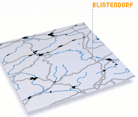 Places with similar names to Blintendorf, Germany ::
// Blindendorf (AT)
// Blindendorf (AT)
Disclaimer :: Information on this page comes without warranty of any kind |
||
|
Where is Blintendorf? Elevation and coordinates ::
Latitude (lat): 50°27'0"N Longitude (lon): 11°48'0"E
Elevation (approx.): 537m (map arrows pan, magnifying glasses zoom) |
||
|
Visiting Blintendorf? Hotel/Accommodation ::
Book a hotel in Blintendorf Travel Guide ::
Buy a travel guide for Germany rental cars ::
car rental offers GPS waypoint ::
download a GPX waypoint (PoI) of Blintendorf for your GPS receiver
|
||