|
search place name
|
||
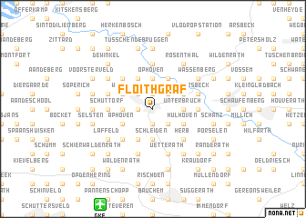
Floithgraf (Nordrhein-Westfalen, Germany)Floithgraf is a town in the Nordrhein-Westfalen region of Germany. An overview map of the region around Floithgraf is displayed below.
regional and 3d topo map of Floithgraf, Germany ::
Floithgraf airports ::
The nearest airport is GKE - Geilenkirchen, located 12.4 km south of Floithgraf.
Other airports nearby include MST - Maastricht (28.9 km south west), MGL - Moenchengladbach Monchengladbach (33.7 km north east), DUS - Duesseldorf Dusseldorf (52.8 km north east), EIN - Eindhoven (66.2 km north west), Nearby towns ::
Kempen (1.9km north) //
Heinsberg (1.2km west) //
Schafhausen (1.9km south) //
Theberath (2.2km north west) //
Hochbrück (2.2km north east) //
Mühlenbruch (2.2km north west) //
Eschweiler (2.2km south east) //
Kirchhoven (2.3km west) //
Lieck (2.3km west) //
Högden (2.3km west) //
Endebruch (2.3km west) //
Unterbruch (2.3km east) //
Ophoven (3.7km north) //
Schleiden (3.7km south) //
Dorath (3.7km south) //
Berg (3.0km north west) //
Werlo (3.0km north west) //
Brehm (3.0km north east) //
Aphoven (3.0km south west) //
Grebben (3.0km south east) //
Hülhoven (3.0km south east) //
Oberbruch (3.0km south east) //
Krafeld (3.9km north) //
Steinkirchen (3.9km north) //
Ohe (3.9km north) //
Forst (3.9km north) //
Eulenbusch (3.9km north) //
End (3.9km north) //
Erpen (3.9km south) //
[all distances 'as the bird flies' and approximate] 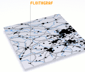 Places with similar names to Floithgraf, Germany :: Disclaimer :: Information on this page comes without warranty of any kind |
||
|
Where is Floithgraf? Elevation and coordinates ::
Latitude (lat): 51°4'0"N Longitude (lon): 6°6'0"E
Elevation (approx.): 37m (map arrows pan, magnifying glasses zoom) |
||
|
Visiting Floithgraf? Hotel/Accommodation ::
Book a hotel in Floithgraf Travel Guide ::
Buy a travel guide for Germany rental cars ::
car rental offers GPS waypoint ::
download a GPX waypoint (PoI) of Floithgraf for your GPS receiver
|
||