|
search place name
|
||
Gothendorf (Bayern, Germany)Gothendorf is a town in the Bayern region of Germany. An overview map of the region around Gothendorf is displayed below.
regional and 3d topo map of Gothendorf, Germany ::

Gothendorf airports ::
The nearest airport is BYU - Bayreuth, located 9.2 km south of Gothendorf.
Other airports nearby include HOQ - Hof Plauen (28.7 km north east), NUE - Nuernberg Nurnberg (75.9 km south west), KLV - Karlovy Vary (91.7 km east), ERF - Erfurt (112.8 km north west), Nearby towns ::
Köslar (0.0km north) //
Rohrersreuth (1.9km north) //
Rimlas (1.2km east) //
Gössenreuth (1.2km west) //
Micheldorf (1.9km south) //
Pulst (2.2km north west) //
Bad Berneck im Fichtelgebirge (2.2km south east) //
Marktschorgast (3.7km north) //
Neudorf (3.7km south) //
Blumenau (3.7km south) //
Wasserknoden (3.0km north east) //
Bärnreuth (3.0km south east) //
Kieselhof (3.0km south west) //
Mittelpöllitz (3.9km north) //
Oberpöllitz (3.9km north) //
Unterpöllitz (3.9km north) //
Gesees (3.9km south) //
Falls (4.4km north east) //
Sessenreuth (4.4km north west) //
Goldmühl (4.4km south east) //
Nenntmannsreuth (4.4km south west) //
Stein (3.6km east) //
Himmelkron (3.6km west) //
Ziegenburg (5.6km north) //
Lützenreuth (4.0km north east) //
Kottersreuth (5.7km south) //
Gleisenhof (4.0km south west) //
Lanzendorf (4.0km south west) //
Weissenbach (5.7km north) //
[all distances 'as the bird flies' and approximate] 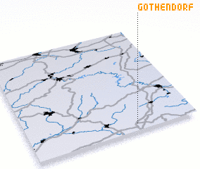 Places with similar names to Gothendorf, Germany ::
Disclaimer :: Information on this page comes without warranty of any kind |
||
|
Where is Gothendorf? Elevation and coordinates ::
Latitude (lat): 50°4'0"N Longitude (lon): 11°39'0"E
Elevation (approx.): 582m (map arrows pan, magnifying glasses zoom) |
||
|
Visiting Gothendorf? Hotel/Accommodation ::
Book a hotel in Gothendorf Travel Guide ::
Buy a travel guide for Germany rental cars ::
car rental offers GPS waypoint ::
download a GPX waypoint (PoI) of Gothendorf for your GPS receiver
|
||