|
search place name
|
||
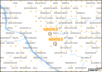
Hähnen (Rheinland-Pfalz, Germany)Hähnen is a town in the Rheinland-Pfalz region of Germany. An overview map of the region around Hähnen is displayed below.
regional and 3d topo map of Hähnen, Germany ::
Hähnen airports ::
The nearest airport is ZNV - Koblenz Winningen, located 29.2 km south east of Hähnen.
Other airports nearby include CGN - Cologne Koln Bonn (36.9 km north west), HHN - Frankfurt Hahn (69.1 km south), SPM - Spangdahlem Ab (81.7 km south west), ZQF - Trier Fohren (88.4 km south west), Nearby towns ::
Hesseln (0.0km north) //
Krumscheid (0.0km north) //
Reifert (1.2km east) //
Heeg (1.2km east) //
Girgenrath (1.9km south) //
Sankt Katharinen (2.2km north east) //
Steinshardt (2.2km north east) //
Ginsterhahn (2.2km north west) //
Noll (2.2km north west) //
Bremscheid (2.2km south east) //
Hilkerscheid (3.7km north) //
Strödt (3.7km north) //
Weißfeld (3.7km south) //
Weißenfels (3.0km north east) //
Niederbuchenau (3.0km north east) //
Oberhoppen (3.9km north) //
Over (3.0km south east) //
Stopperich (3.0km south east) //
Lorscheid (3.9km north) //
Homscheid (3.9km north) //
Hähnen (3.9km south) //
Strauscheid (4.4km north east) //
Frorath (4.4km south east) //
Notscheid (4.4km north west) //
Lache (3.5km east) //
Mittelelsaff (5.6km north) //
Rott (5.6km north) //
Oberelsaff (5.6km north) //
Hargarten (4.0km north west) //
[all distances 'as the bird flies' and approximate] 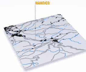 Places with similar names to Hähnen, Germany ::
Disclaimer :: Information on this page comes without warranty of any kind |
||
|
Where is Hähnen? Elevation and coordinates ::
Latitude (lat): 50°34'0"N Longitude (lon): 7°22'0"E
Elevation (approx.): 345m (map arrows pan, magnifying glasses zoom) |
||
|
Visiting Hähnen? Hotel/Accommodation ::
Book a hotel in Hähnen Travel Guide ::
Buy a travel guide for Germany rental cars ::
car rental offers GPS waypoint ::
download a GPX waypoint (PoI) of Hähnen for your GPS receiver
|
||