|
search place name
|
||
Halen (Nordrhein-Westfalen, Germany)Halen is a town in the Nordrhein-Westfalen region of Germany. An overview map of the region around Halen is displayed below.
regional and 3d topo map of Halen, Germany ::

Halen airports ::
The nearest airport is FMO - Muenster/osnabrueck Munster Osnabruck, located 27.9 km south west of Halen.
Other airports nearby include GUT - Guetersloh Gutersloh (52.3 km south east), ENS - Enschede Twenthe (72.6 km west), PAD - Paderborn Lippstadt (92.8 km south east), DTM - Dortmund (93.3 km south), Nearby towns ::
Hunteroth (1.9km south) //
Wersen (2.2km south east) //
Hollage (2.2km north east) //
Telgte (2.3km west) //
Hettlage (3.9km south) //
Brockhausen (2.9km south east) //
Büren (2.9km south east) //
Fiestel (2.9km north east) //
Barlage (3.9km north) //
Saarbeck (5.6km south) //
Osterbeck (3.4km west) //
Lotte (5.7km south) //
Westerkappeln (3.9km south west) //
Niederseeste (3.9km north west) //
Niederdorf (3.9km north west) //
Riege (6.0km south) //
Sennlich (5.0km south west) //
Pente (6.0km north) //
Atter (6.0km south) //
Schagen (6.0km north) //
Gohfeld (7.4km south) //
Oberseeste (4.5km west) //
Achmer (7.4km north) //
Larberg (7.4km north) //
Wallenbrock (4.9km west) //
Pye (4.9km east) //
Hemke (7.5km north) //
Düte-Lada (6.5km south west) //
Penterknapp (6.5km north east) //
[all distances 'as the bird flies' and approximate] 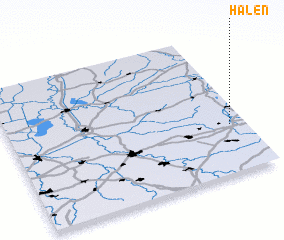 Places with similar names to Halen, Germany ::
Disclaimer :: Information on this page comes without warranty of any kind |
||
|
Where is Halen? Elevation and coordinates ::
Latitude (lat): 52°20'0"N Longitude (lon): 7°56'0"E
Elevation (approx.): 67m (map arrows pan, magnifying glasses zoom) |
||
|
Visiting Halen? Hotel/Accommodation ::
Book a hotel in Halen Travel Guide ::
Buy a travel guide for Germany rental cars ::
car rental offers GPS waypoint ::
download a GPX waypoint (PoI) of Halen for your GPS receiver
|
||