|
search place name
|
||
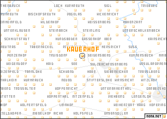
Kauerhof (Bayern, Germany)Kauerhof is a town in the Bayern region of Germany. An overview map of the region around Kauerhof is displayed below.
regional and 3d topo map of Kauerhof, Germany ::
Kauerhof airports ::
The nearest airport is NUE - Nuernberg Nurnberg, located 45.9 km west of Kauerhof.
Other airports nearby include BYU - Bayreuth (52.2 km north), HOQ - Hof Plauen (86.6 km north), KLV - Karlovy Vary (116.0 km north east), GHF - Giebelstadt Aaf (126.2 km west), Nearby towns ::
Kummerthal (0.0km north) //
Fromberg (1.9km north) //
Prangershof (1.2km east) //
Untermainshof (1.2km west) //
Niederricht (1.2km west) //
Großenfalz (2.2km north east) //
Röckenricht (2.2km north west) //
Kleinfalz (2.2km north east) //
See (2.2km south west) //
Kempfenhof (2.2km south east) //
Sternstein (2.2km south east) //
Trondorf (2.4km west) //
Hundheim (2.4km west) //
Obermainshof (2.4km west) //
Seidersberg (2.4km east) //
Erlheim (2.4km east) //
Feuerhof (2.4km east) //
Etzmannshof (2.4km east) //
Aichazandt (3.7km south) //
Lockenricht (3.0km north west) //
Haghof (3.0km north west) //
Gassenhof (3.9km north) //
Habres (3.9km north) //
Bernricht (3.9km north) //
Eckenricht (3.9km north) //
Forsthof (3.9km north) //
Frankenhof (3.9km south) //
Haar (3.9km south) //
Högberg (4.4km north west) //
[all distances 'as the bird flies' and approximate] 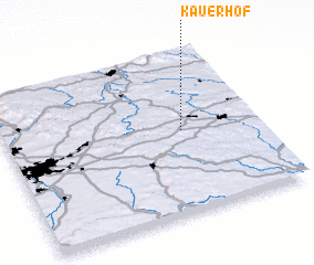 Places with similar names to Kauerhof, Germany ::
Disclaimer :: Information on this page comes without warranty of any kind |
||
|
Where is Kauerhof? Elevation and coordinates ::
Latitude (lat): 49°31'0"N Longitude (lon): 11°42'0"E
Elevation (approx.): 452m (map arrows pan, magnifying glasses zoom) |
||
|
Visiting Kauerhof? Hotel/Accommodation ::
Book a hotel in Kauerhof Travel Guide ::
Buy a travel guide for Germany rental cars ::
car rental offers GPS waypoint ::
download a GPX waypoint (PoI) of Kauerhof for your GPS receiver
|
||