|
search place name
|
||
Liebenried (Baden-Württemberg, Germany)Liebenried is a town in the Baden-Württemberg region of Germany. An overview map of the region around Liebenried is displayed below.
regional and 3d topo map of Liebenried, Germany ::

Liebenried airports ::
The nearest airport is FDH - Friedrichshafen, located 31.0 km west of Liebenried.
Other airports nearby include ACH - St Gallen Altenrhein (40.4 km south west), ZQL - Donaueschingen Villingen (105.6 km west), AGB - Augsburg (106.1 km north east), ZRH - Zurich (107.0 km west), Nearby towns ::
Oberhorgen (0.0km north) //
Zaisenhofen (1.9km north) //
Unterhaid (1.2km west) //
Unterhorgen (1.2km west) //
Goppertshofen (1.2km east) //
Oberhaid (1.2km west) //
Dettishofen (1.9km south) //
Hilpertshofen (1.9km south) //
Wolfgelts (1.9km south) //
Kißlegg (2.2km north west) //
Arrisried (2.2km south west) //
Waffenried (2.2km south west) //
Wengen (2.2km south east) //
Waltershofen (2.2km south east) //
Emmelhofen (3.7km north) //
Sigrazhofen (2.5km east) //
Bärenweiler (2.5km west) //
Schurtannen (2.5km west) //
Lautersee (2.5km west) //
Tal (3.7km south) //
Buchen (3.7km south) //
Oberrot (3.1km north east) //
Unterrot (3.1km north east) //
Pfaffenweiler (3.1km north west) //
Sankt Anna (3.1km north west) //
Reipertshofen (3.9km north) //
Wallmusried (3.1km south west) //
Schwenden (3.9km south) //
Riehlings (3.9km south) //
[all distances 'as the bird flies' and approximate] 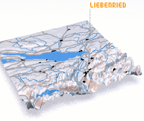 Places with similar names to Liebenried, Germany ::
Disclaimer :: Information on this page comes without warranty of any kind |
||
|
Where is Liebenried? Elevation and coordinates ::
Latitude (lat): 47°46'0"N Longitude (lon): 9°54'0"E
Elevation (approx.): 657m (map arrows pan, magnifying glasses zoom) |
||
|
Visiting Liebenried? Hotel/Accommodation ::
Book a hotel in Liebenried Travel Guide ::
Buy a travel guide for Germany rental cars ::
car rental offers GPS waypoint ::
download a GPX waypoint (PoI) of Liebenried for your GPS receiver
|
||