|
search place name
|
||
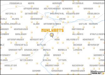
Mühlwärts (Thüringen, Germany)Mühlwärts is a town in the Thüringen region of Germany. An overview map of the region around Mühlwärts is displayed below.
regional and 3d topo map of Mühlwärts, Germany ::
Mühlwärts airports ::
The nearest airport is ERF - Erfurt, located 72.0 km east of Mühlwärts.
Other airports nearby include KSF - Kassel Calden (81.5 km north west), ZNF - Hanau Aaf (99.6 km south west), GHF - Giebelstadt Aaf (126.3 km south), FRA - Frankfurt Main (132.6 km south west), Nearby towns ::
Hüttenroda (1.2km east) //
Pferdsdorf (2.2km north west) //
Mosa (2.2km south east) //
Sünna (2.2km north east) //
Bermbach (3.7km south) //
Unterbreizbach (3.7km north) //
Deicheroda (3.0km south east) //
Buttlar (4.4km south west) //
Poppenberg (4.4km north east) //
Wenigentaft (4.0km south west) //
Borsch (5.7km south) //
Mieswarz (5.1km south east) //
Vacha (6.0km north east) //
Glaam (5.1km north west) //
Borbels (6.0km south east) //
Mansbach (4.7km west) //
Geisa (7.5km south) //
Oberbreitzbach (5.0km west) //
Bremen (7.5km south) //
Harnrode (7.5km north) //
Mariengart (5.0km east) //
Hutha (5.0km east) //
Wölferbütt (5.0km east) //
Philippsthal (7.5km north) //
Völkershausen (5.0km east) //
Röhrigshof (6.6km north west) //
Badelachen (6.6km north east) //
Unterzella (6.6km north east) //
Heimboldshausen (7.8km north) //
[all distances 'as the bird flies' and approximate] 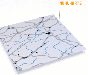 Places with similar names to Mühlwärts, Germany :: Disclaimer :: Information on this page comes without warranty of any kind |
||
|
Where is Mühlwärts? Elevation and coordinates ::
Latitude (lat): 50°47'0"N Longitude (lon): 9°59'0"E
Elevation (approx.): 313m (map arrows pan, magnifying glasses zoom) |
||
|
Visiting Mühlwärts? Hotel/Accommodation ::
Book a hotel in Mühlwärts Travel Guide ::
Buy a travel guide for Germany rental cars ::
car rental offers GPS waypoint ::
download a GPX waypoint (PoI) of Mühlwärts for your GPS receiver
|
||