|
search place name
|
||
Thanheim (Bayern, Germany)Thanheim is a town in the Bayern region of Germany. An overview map of the region around Thanheim is displayed below.
regional and 3d topo map of Thanheim, Germany ::

Thanheim airports ::
The nearest airport is NUE - Nuernberg Nurnberg, located 69.0 km west of Thanheim.
Other airports nearby include BYU - Bayreuth (76.6 km north), HOQ - Hof Plauen (106.7 km north), MUC - Munich Munchen (109.9 km south), KLV - Karlovy Vary (117.7 km north east), Nearby towns ::
Ruiding (1.2km east) //
Seulohe (2.2km north west) //
Rieden (3.0km south west) //
Siegenhofen (3.0km south west) //
Uschlberg (3.0km north west) //
Eichlhof (3.9km south) //
Götzenöd (3.9km north) //
Dauching (3.0km north east) //
Au (3.0km north east) //
Vilshofen (4.4km south west) //
Aufheim (4.4km south west) //
Vilswörth (4.4km south west) //
Breitenbrunn (4.4km north east) //
Diebis (5.6km north) //
Gattershof (5.7km south) //
Ipflheim (5.7km north) //
Neukirchen (4.1km south east) //
Krumbach (4.1km south east) //
Kreuth (4.1km south west) //
Oberbuch (5.7km south) //
Ensdorf (4.1km north west) //
Haselbach (4.1km north east) //
Leidersdorf (4.1km north west) //
Günzersreuth (5.2km south west) //
Hartenricht (5.2km south east) //
Witzlarn (6.1km south east) //
Pittersberg (5.2km north east) //
Höchensee (7.4km south) //
Grain (4.8km east) //
[all distances 'as the bird flies' and approximate] 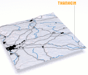 Places with similar names to Thanheim, Germany ::
Disclaimer :: Information on this page comes without warranty of any kind |
||
|
Where is Thanheim? Elevation and coordinates ::
Latitude (lat): 49°20'0"N Longitude (lon): 11°59'0"E
Elevation (approx.): 434m (map arrows pan, magnifying glasses zoom) |
||
|
Visiting Thanheim? Hotel/Accommodation ::
Book a hotel in Thanheim Travel Guide ::
Buy a travel guide for Germany rental cars ::
car rental offers GPS waypoint ::
download a GPX waypoint (PoI) of Thanheim for your GPS receiver
|
||