|
search place name
|
||
Watenstedt (Niedersachsen, Germany)Watenstedt is a town in the Niedersachsen region of Germany. An overview map of the region around Watenstedt is displayed below.
regional and 3d topo map of Watenstedt, Germany ::

Watenstedt airports ::
The nearest airport is BWE - Braunschweig Wolfsburg, located 21.6 km north east of Watenstedt.
Other airports nearby include ZCN - Celle (55.4 km north west), HAJ - Hannover (59.8 km north west), KSF - Kassel Calden (108.6 km south west), ERF - Erfurt (135.8 km south), Nearby towns ::
Hallendorf (1.1km west) //
Heerte (2.2km south west) //
Bleckenstedt (3.9km north) //
Barum (4.3km south east) //
Beddingen (4.3km north east) //
Immendorf (3.4km east) //
Drütte (3.4km east) //
Leinde (3.9km south east) //
Engelnstedt (3.9km north west) //
Nortenhof (5.7km north) //
Sauingen (5.7km north) //
Üfingen (5.7km north) //
Cramme (5.0km south east) //
Lobmachtersen (6.0km south) //
Adersheim (4.5km east) //
Lebenstedt (4.5km west) //
Calbecht (7.5km south) //
Alvesse (7.5km north) //
Salder (4.9km west) //
Krähenriede (4.9km west) //
Gebhardshagen (6.5km south west) //
Flachstöckheim (7.8km south) //
Engerode (7.8km south) //
Groß Flöthe (7.2km south east) //
Steterburg (7.2km north east) //
Geitelde (8.7km north east) //
Salzgitter (8.7km south west) //
[all distances 'as the bird flies' and approximate] 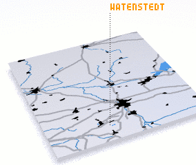 Places with similar names to Watenstedt, Germany ::
// Watenstedt (DE)
Disclaimer :: Information on this page comes without warranty of any kind |
||
|
Where is Watenstedt? Elevation and coordinates ::
Latitude (lat): 52°9'0"N Longitude (lon): 10°24'0"E
Elevation (approx.): 92m (map arrows pan, magnifying glasses zoom) |
||
|
Visiting Watenstedt? Hotel/Accommodation ::
Book a hotel in Watenstedt Travel Guide ::
Buy a travel guide for Germany rental cars ::
car rental offers GPS waypoint ::
download a GPX waypoint (PoI) of Watenstedt for your GPS receiver
|
||