|
search place name
|
||
Weiler (Baden-Württemberg, Germany)Weiler is a town in the Baden-Württemberg region of Germany. An overview map of the region around Weiler is displayed below.
regional and 3d topo map of Weiler, Germany ::

Weiler airports ::
The nearest airport is GHF - Giebelstadt Aaf, located 68.9 km north of Weiler.
Other airports nearby include STR - Stuttgart (73.8 km south west), NUE - Nuernberg Nurnberg (88.3 km north east), AGB - Augsburg (92.0 km south east), ZQC - Speyer (122.7 km west), Nearby towns ::
Knausberg (0.0km north) //
Riegelhof (0.0km north) //
Grünberg (1.2km west) //
Hegenberg (1.2km west) //
Sperrhof (1.9km north) //
Winterberg (1.2km east) //
Jagstzell (1.2km east) //
Unterknausen (2.2km south west) //
Eckarrot (2.2km north west) //
Schweighausen (2.2km south east) //
Hörbühl (2.2km north east) //
Stimpfach (3.7km north) //
Gauchshausen (3.1km north west) //
Dietrichsweiler (3.9km south) //
Appensee (3.9km north) //
Hohenberg (4.4km south west) //
Zumholz (4.4km south west) //
Kalkhöfe (4.4km south east) //
Schönau (4.4km south east) //
Eichelberg (5.6km north) //
Eichenrain (3.6km east) //
Rot (3.6km east) //
Ropfershof (3.6km east) //
Eggenrot (5.6km south) //
Steinbach (5.7km north) //
Dankoltsweiler (4.1km south east) //
Häsle (5.7km south) //
Griesweiler (5.7km south) //
Altmannsrot (5.7km south) //
[all distances 'as the bird flies' and approximate] 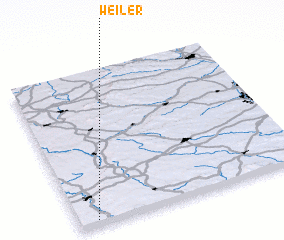 Places with similar names to Weiler, Germany ::
Disclaimer :: Information on this page comes without warranty of any kind |
||
|
Where is Weiler? Elevation and coordinates ::
Latitude (lat): 49°2'0"N Longitude (lon): 10°5'0"E
Elevation (approx.): 470m (map arrows pan, magnifying glasses zoom) |
||
|
Visiting Weiler? Hotel/Accommodation ::
Book a hotel in Weiler Travel Guide ::
Buy a travel guide for Germany rental cars ::
car rental offers GPS waypoint ::
download a GPX waypoint (PoI) of Weiler for your GPS receiver
|
||