|
search place name
|
||
Borgesati (Italy)Borgesati is a town in Italy. An overview map of the region around Borgesati is displayed below.
regional and 3d topo map of Borgesati, Italy ::

Borgesati airports ::
The nearest airport is TPS - Trapani Birgi, located 31.5 km north west of Borgesati.
Other airports nearby include PMO - Palermo (48.2 km north east), PMO - Palermo Boccadifalco (55.6 km north east), PNL - Pantelleria (132.5 km south west), MLA - Malta Luqa (261.6 km south east), Nearby towns ::
Salemi (2.4km north west) //
Ulmi (5.7km north west) //
Vita (7.4km north) //
Chiesa di Pusillesi (6.1km west) //
Santa Ninfa (6.9km south east) //
[all distances 'as the bird flies' and approximate] 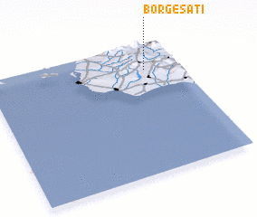 Places with similar names to Borgesati, Italy ::
// Brijest (BA)
// Borj-e Seyyed (IR)
// Borj-e Seyyed (IR)
// Borj-e Zīād (IR)
// Bridge City (US)
// Bridge City (US)
// Burj Ziādāh (PK)
// Burjasot (ES)
// Brijest (BA)
// Brijest (HR)
Disclaimer :: Information on this page comes without warranty of any kind |
||
|
Where is Borgesati? Elevation and coordinates ::
Latitude (lat): 37°48'0"N Longitude (lon): 12°49'0"E
Elevation (approx.): 184m (map arrows pan, magnifying glasses zoom) |
||
|
Visiting Borgesati? Hotel/Accommodation ::
Book a hotel in Borgesati Travel Guide ::
Buy a travel guide for Italy rental cars ::
car rental offers GPS waypoint ::
download a GPX waypoint (PoI) of Borgesati for your GPS receiver
|
||