|
search place name
|
||
Castello (Italy)Castello is a town in Italy. An overview map of the region around Castello is displayed below.
regional and 3d topo map of Castello, Italy ::

Castello airports ::
The nearest airport is TRN - Torino, located 71.9 km east of Castello.
Other airports nearby include CUF - Levaldigi (86.7 km south east), CMF - Chambery Aix Les Bains (96.7 km north west), NCY - Annecy Meythet (112.4 km north west), GNB - Grenoble Saint Geoirs (118.7 km west), Nearby towns ::
Beaulard (1.9km north) //
Savoulx (2.3km north east) //
Gouthier (3.9km north) //
Granges Suppas (3.9km north) //
Puys (3.2km north west) //
Desertes (5.7km south) //
Fenils (5.7km south) //
Solomiac (6.1km south east) //
Abbazia (5.2km east) //
Abbaziz (5.2km east) //
Oulx (5.2km east) //
Chalets des Acles (5.6km west) //
Colombiere (6.8km south east) //
Autagne (6.8km south east) //
Mollières (7.9km south) //
Bardonecchia (7.6km north west) //
Vernets (9.1km north west) //
[all distances 'as the bird flies' and approximate] 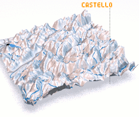 Places with similar names to Castello, Italy ::
Disclaimer :: Information on this page comes without warranty of any kind |
||
|
Where is Castello? Elevation and coordinates ::
Latitude (lat): 45°2'0"N Longitude (lon): 6°46'0"E
Elevation (approx.): 1393m (map arrows pan, magnifying glasses zoom) |
||
|
Visiting Castello? Hotel/Accommodation ::
Book a hotel in Castello Travel Guide ::
Buy a travel guide for Italy rental cars ::
car rental offers GPS waypoint ::
download a GPX waypoint (PoI) of Castello for your GPS receiver
|
||