|
search place name
|
||
Castello Canali (Italy)Castello Canali is a town in Italy. An overview map of the region around Castello Canali is displayed below.
regional and 3d topo map of Castello Canali, Italy ::

Castello Canali airports ::
The nearest airport is PMF - Parma, located 30.8 km north west of Castello Canali.
Other airports nearby include BLQ - Bologna (55.3 km east), QPZ - Piacenza (75.8 km west), VRN - Villafranca (83.8 km north), VBS - Montichiari (87.7 km north), Nearby towns ::
Due Maestà (2.6km east) //
Rivalta (3.2km south west) //
Cantone (3.2km south west) //
Codemondo (4.0km west) //
San Rigo (4.0km west) //
Albinea (5.7km south) //
Reggio nellʼEmilia (5.7km north) //
Botteghe (6.2km south west) //
Case del Ponte (6.2km north west) //
Puianello (5.4km south west) //
Sesso (7.5km north) //
Ca Vecchia (5.6km east) //
San Maurizio (5.6km east) //
Roncocesi (7.5km north) //
Borzano (7.5km south) //
Broletto (7.9km south) //
Il Cantone (6.4km south west) //
Cella (8.4km north west) //
Vezzano sul Crostolo (9.1km south west) //
[all distances 'as the bird flies' and approximate] 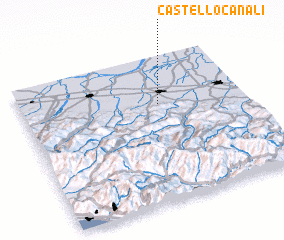 Places with similar names to Castello Canali, Italy ::
// Castleconnell (IE)
Disclaimer :: Information on this page comes without warranty of any kind |
||
|
Where is Castello Canali? Elevation and coordinates ::
Latitude (lat): 44°40'0"N Longitude (lon): 10°37'0"E
Elevation (approx.): 77m (map arrows pan, magnifying glasses zoom) |
||
|
Visiting Castello Canali? Hotel/Accommodation ::
Book a hotel in Castello Canali Travel Guide ::
Buy a travel guide for Italy rental cars ::
car rental offers GPS waypoint ::
download a GPX waypoint (PoI) of Castello Canali for your GPS receiver
|
||