|
search place name
|
||
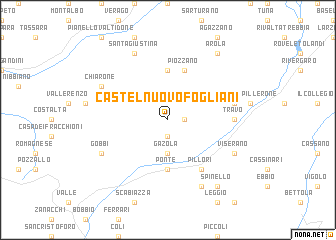
Castelnuovo Fogliani (Italy)Castelnuovo Fogliani is a town in Italy. An overview map of the region around Castelnuovo Fogliani is displayed below.
regional and 3d topo map of Castelnuovo Fogliani, Italy ::
Castelnuovo Fogliani airports ::
The nearest airport is QPZ - Piacenza, located 20.9 km east of Castelnuovo Fogliani.
Other airports nearby include PMF - Parma (65.8 km east), LIN - Milan Linate (66.0 km north), GOA - Genoa Genova Sestri (70.9 km south west), BGY - Bergamo Orio Al Serio (91.6 km north), Nearby towns ::
Cella (1.3km east) //
Scarniago (1.9km south) //
Gazola (3.7km south) //
Pomaro (5.6km north) //
Ponte (5.6km south) //
Piozzano (5.7km north) //
Perino (6.1km south east) //
Pillori (6.1km south east) //
Travo (5.3km east) //
Fradegola (5.6km east) //
Santa Giustina (7.9km north) //
Viserano (6.4km south east) //
Chiarone (6.4km north west) //
Osera (7.9km south) //
Gobbi (6.4km south west) //
Arola (8.4km north east) //
Spinello (8.4km south east) //
[all distances 'as the bird flies' and approximate] 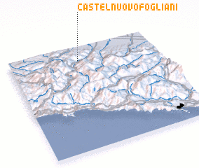 Places with similar names to Castelnuovo Fogliani, Italy :: Disclaimer :: Information on this page comes without warranty of any kind |
||
|
Where is Castelnuovo Fogliani? Elevation and coordinates ::
Latitude (lat): 44°52'0"N Longitude (lon): 9°28'0"E
Elevation (approx.): 586m (map arrows pan, magnifying glasses zoom) |
||
|
Visiting Castelnuovo Fogliani? Hotel/Accommodation ::
Book a hotel in Castelnuovo Fogliani Travel Guide ::
Buy a travel guide for Italy rental cars ::
car rental offers GPS waypoint ::
download a GPX waypoint (PoI) of Castelnuovo Fogliani for your GPS receiver
|
||