|
search place name
|
||
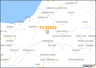
Filogaso (Italy)Filogaso is a town in Italy. An overview map of the region around Filogaso is displayed below.
regional and 3d topo map of Filogaso, Italy ::
Filogaso airports ::
The nearest airport is SUF - Lamezia Terme, located 24.7 km north of Filogaso.
Other airports nearby include CRV - Crotone (81.4 km north east), REG - Reggio Calabria (84.9 km south west), CTA - Catania Fontanarossa (169.5 km south west), NSY - Sigonella (183.0 km south west), Nearby towns ::
Lo Schioppo (3.7km south) //
Capistrano (4.3km east) //
San Nicola da Crissa (4.7km south east) //
Casa Scrisi (5.7km north) //
Maierato (4.7km north west) //
Pizzoni (5.7km south) //
Vazzano (5.7km south) //
Monterosso (5.7km north east) //
Casa Carrieri (7.4km north) //
Vallelonga (7.1km south east) //
Pizzo (8.0km north west) //
SantʼAngelo (9.4km south west) //
[all distances 'as the bird flies' and approximate] 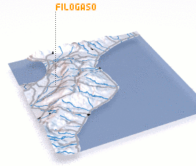 Places with similar names to Filogaso, Italy ::
Disclaimer :: Information on this page comes without warranty of any kind |
||
|
Where is Filogaso? Elevation and coordinates ::
Latitude (lat): 38°41'0"N Longitude (lon): 16°14'0"E
Elevation (approx.): 262m (map arrows pan, magnifying glasses zoom) |
||
|
Visiting Filogaso? Hotel/Accommodation ::
Book a hotel in Filogaso Travel Guide ::
Buy a travel guide for Italy rental cars ::
car rental offers GPS waypoint ::
download a GPX waypoint (PoI) of Filogaso for your GPS receiver
|
||