|
search place name
|
||
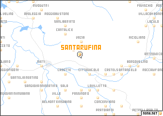
Santa Rufina (Italy)Santa Rufina is a town in Italy. An overview map of the region around Santa Rufina is displayed below.
regional and 3d topo map of Santa Rufina, Italy ::
Santa Rufina airports ::
The nearest airport is CIA - Rome Ciampino, located 74.1 km south of Santa Rufina.
Other airports nearby include PEG - Perugia (82.9 km north west), FCO - Rome Fiumicino (88.4 km south west), QLT - Latina (97.1 km south), PSR - Pescara (102.7 km east), Nearby towns ::
Castelfranco (2.3km north west) //
Vazia (3.7km north) //
Cittaducale (4.0km south) //
Casette (4.6km south west) //
Cantalice (6.2km north west) //
Cesoni (5.5km south east) //
Cenciara (7.4km south) //
Le Grotte (7.5km south) //
San Liberato (7.9km north) //
Sala (7.9km south) //
Calcariola (7.9km south) //
La Villetta (7.9km south) //
Paterno (6.6km south east) //
Pendenza (9.2km south east) //
Micciani (9.2km south east) //
[all distances 'as the bird flies' and approximate] 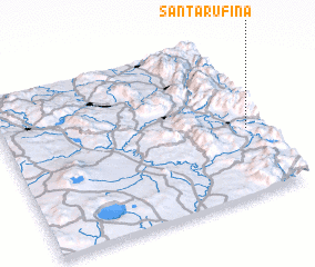 Places with similar names to Santa Rufina, Italy ::
// Santa Rufina (CU)
// Santa Rufina (CU)
// Santa Rufina (CU)
// Santa Rufina (CU)
// Santa Rufina (EC)
// Santa Rufina (VE)
// Sainte-Ruffine (FR)
// Saint Ervan (GB)
// Santa Rufina (AR)
// Saint-Tréfin (FR)
Disclaimer :: Information on this page comes without warranty of any kind |
||
|
Where is Santa Rufina? Elevation and coordinates ::
Latitude (lat): 42°25'0"N Longitude (lon): 12°56'0"E
Elevation (approx.): 572m (map arrows pan, magnifying glasses zoom) |
||
|
Visiting Santa Rufina? Hotel/Accommodation ::
Book a hotel in Santa Rufina Travel Guide ::
Buy a travel guide for Italy rental cars ::
car rental offers GPS waypoint ::
download a GPX waypoint (PoI) of Santa Rufina for your GPS receiver
|
||