|
search place name
|
||
Debraď (Slovakia)Debraď is a town in Slovakia. An overview map of the region around Debraď is displayed below.
regional and 3d topo map of Debraď, Slovakia ::

Debraď airports ::
The nearest airport is KSC - Kosice, located 19.0 km east of Debraď.
Other airports nearby include TAT - Poprad Tatry (72.0 km north west), SLD - Sliac (136.3 km west), DEB - Debrecen (137.4 km south), SUJ - Satu Mare (176.3 km south east), Nearby towns ::
Jasov (3.7km north) //
Moldava nad Bodvou (3.9km south) //
Rudník (3.9km north) //
Vinička (3.1km north east) //
Drienovec (4.4km south west) //
Poproč (7.4km north) //
Budulov (7.5km south) //
Mokrance (6.7km south east) //
Rudnianske Kúpele (8.3km north east) //
Chudý Laz (7.4km south east) //
Žarnov (8.3km south west) //
[all distances 'as the bird flies' and approximate] 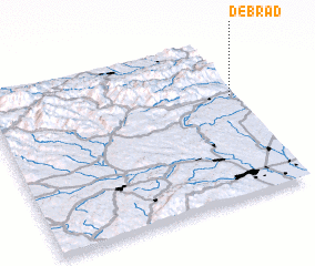 Places with similar names to Debraď, Slovakia ::
Disclaimer :: Information on this page comes without warranty of any kind |
||
|
Where is Debraď? Elevation and coordinates ::
Latitude (lat): 48°39'0"N Longitude (lon): 20°59'0"E
Elevation (approx.): 281m (map arrows pan, magnifying glasses zoom) |
||
|
Visiting Debraď? Hotel/Accommodation ::
Book a hotel in Debraď Travel Guide ::
Buy a travel guide for Slovakia rental cars ::
car rental offers GPS waypoint ::
download a GPX waypoint (PoI) of Debraď for your GPS receiver
|
||