|
search place name
|
||
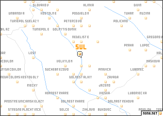
Šuľ (Slovakia)Šuľ is a town in Slovakia. An overview map of the region around Šuľ is displayed below.
regional and 3d topo map of Šuľ, Slovakia ::
Šuľ airports ::
The nearest airport is SLD - Sliac, located 38.2 km north west of Šuľ.
Other airports nearby include TAT - Poprad Tatry (100.8 km north east), BUD - Budapest Ferihegy (102.2 km south), PZY - Piestany (121.3 km west), KSC - Kosice (139.2 km east), Nearby towns ::
Príboj (1.9km south) //
Imrichov Kopec (2.2km south east) //
Nedelište (3.7km north) //
Horné Štáliky (3.7km south) //
Červenany (3.9km north) //
Senné (3.9km south) //
Veľký Lom (3.1km south west) //
Lentvora (4.5km north east) //
Dolné Štáliky (5.6km south) //
Brusník (5.7km south) //
Suché Brezovo (5.2km south west) //
Pravica (5.2km south east) //
Dolný Tisovník (6.1km north west) //
Madačka (7.4km north) //
Ábelová (7.5km north) //
Horná Strehová (7.5km south) //
Petercovo (7.5km north) //
Chrťany (6.7km south east) //
Závada (7.4km south east) //
Jazero (8.3km south east) //
Horný Tisovník (8.3km north west) //
[all distances 'as the bird flies' and approximate] 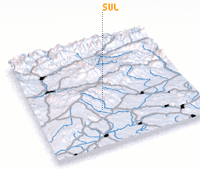 Places with similar names to Šuľ, Slovakia ::
Disclaimer :: Information on this page comes without warranty of any kind |
||
|
Where is Šuľ? Elevation and coordinates ::
Latitude (lat): 48°21'0"N Longitude (lon): 19°25'0"E
Elevation (approx.): 421m (map arrows pan, magnifying glasses zoom) |
||
|
Visiting Šuľ? Hotel/Accommodation ::
Book a hotel in Šuľ Travel Guide ::
Buy a travel guide for Slovakia rental cars ::
car rental offers GPS waypoint ::
download a GPX waypoint (PoI) of Šuľ for your GPS receiver
|
||