|
search place name
|
||
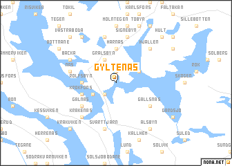
Gyltenäs (Värmland, Sweden)Gyltenäs is a town in the Värmland region of Sweden. An overview map of the region around Gyltenäs is displayed below.
regional and 3d topo map of Gyltenäs, Sweden ::
Gyltenäs airports ::
The nearest airport is LDK - Lidkoping, located 97.2 km south east of Gyltenäs.
Other airports nearby include THN - Trollhattan Vanersborg (98.3 km south), KVB - Skovde (128.7 km south east), OSL - Oslo Gardermoen (128.7 km north west), GSE - Gothenborg Save (160.4 km south), Nearby towns ::
Torgelsbyn (1.9km north) //
Hökenäs (2.1km south west) //
Grälsbyn (3.8km north) //
Egenäs (2.7km north east) //
Krokane (2.7km south west) //
Harnäs (5.6km north) //
Fjus (2.8km west) //
Rolfsbyn (2.8km west) //
Krokfors (3.4km south west) //
Gälnäs (4.7km south west) //
Gällsnäs (4.7km south east) //
Signebyn (7.5km north) //
Litslerud (7.5km north) //
Näs (4.2km north west) //
Svarttjärn (7.5km south) //
Hjällen (6.2km north east) //
Kråkenäs (6.2km south west) //
Backa (5.3km north west) //
Ed (7.9km north) //
Alsbyn (7.9km south) //
Hult (8.3km north east) //
Västra Boda (8.3km north west) //
Kråkviken (8.3km south west) //
[all distances 'as the bird flies' and approximate] 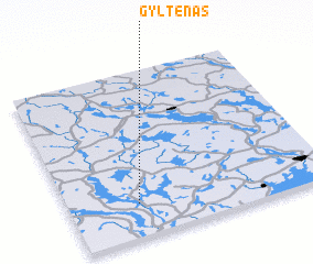
Disclaimer :: Information on this page comes without warranty of any kind |
||
|
Where is Gyltenäs? Elevation and coordinates ::
Latitude (lat): 59°12'0"N Longitude (lon): 12°16'0"E
Elevation (approx.): 124m (map arrows pan, magnifying glasses zoom) |
||
|
Visiting Gyltenäs? Hotel/Accommodation ::
Book a hotel in Gyltenäs Travel Guide ::
Buy a travel guide for Sweden rental cars ::
car rental offers GPS waypoint ::
download a GPX waypoint (PoI) of Gyltenäs for your GPS receiver
|
||