|
search place name
|
||
Hedalen ((( Älvsborg )), Sweden)Hedalen is a town in the (( Älvsborg )) region of Sweden. An overview map of the region around Hedalen is displayed below.
regional and 3d topo map of Hedalen, Sweden ::

Hedalen airports ::
The nearest airport is THN - Trollhattan Vanersborg, located 83.5 km south of Hedalen.
Other airports nearby include LDK - Lidkoping (92.7 km south east), TRF - Torp (102.8 km west), KVB - Skovde (130.3 km south east), OSL - Oslo Gardermoen (137.9 km north), Nearby towns ::
Ängebo (5.6km north) //
Dåverud (3.4km north east) //
Hökhult (4.7km north east) //
Gällsbyn (4.7km north east) //
Äng (4.2km south west) //
Sinsterud (4.2km south east) //
Hult (7.5km south) //
Risane (5.3km south west) //
Rämne (6.7km south east) //
Assgärdebyn (8.3km south west) //
Näs (8.3km south east) //
Näsbo (8.3km north east) //
[all distances 'as the bird flies' and approximate] 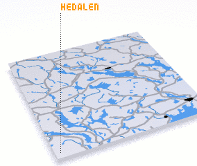 Places with similar names to Hedalen, Sweden ::
// Hotteln (DE)
// Hüttlen (DE)
// Hidellena (LK)
// Huitallana (PE)
// Hetlín (CZ)
// Hodolany (CZ)
// Haut Aulnoy (BE)
// Hé de Lonay (BE)
Disclaimer :: Information on this page comes without warranty of any kind |
||
|
Where is Hedalen? Elevation and coordinates ::
Latitude (lat): 59°3'0"N Longitude (lon): 12°2'0"E
Elevation (approx.): 218m (map arrows pan, magnifying glasses zoom) |
||
|
Visiting Hedalen? Hotel/Accommodation ::
Book a hotel in Hedalen Travel Guide ::
Buy a travel guide for Sweden rental cars ::
car rental offers GPS waypoint ::
download a GPX waypoint (PoI) of Hedalen for your GPS receiver
|
||