|
search place name
|
||
Ledsgård (Halland, Sweden)Ledsgård is a town in the Halland region of Sweden. An overview map of the region around Ledsgård is displayed below.
regional and 3d topo map of Ledsgård, Sweden ::

nearby GPS traces from timatio ::
Ledsgård airports ::
The nearest airport is HAD - Halmstad, located 45.0 km south east of Ledsgård.
Other airports nearby include GOT - Gothenborg Landvetter (72.2 km north), GSE - Gothenborg Save (89.9 km north), JLD - Landskrona (123.1 km south), JKG - Joenkoeping Jonkoping (130.7 km north east), Nearby towns ::
Smurte (1.0km west) //
Sik (2.1km south west) //
Liden (3.0km north) //
Björkäng (2.0km west) //
Rönnås (2.0km west) //
Smedsgård (2.0km west) //
Fastarp (3.8km north) //
Tvååker (3.8km north) //
Grytås (3.8km south) //
Morup (3.8km south) //
Kesebo (4.0km south) //
Utteros (3.1km north west) //
Spannarp (5.7km north) //
Himle (5.7km north) //
Galtabäck (3.5km north west) //
Galtabäck (3.5km north west) //
Sotared (3.5km south east) //
Kullagården (4.8km north west) //
Digesgård (7.5km south) //
Frigårde (4.4km north east) //
Lönestig (7.5km south) //
Ås (5.5km north west) //
Långås (5.5km south east) //
[all distances 'as the bird flies' and approximate] 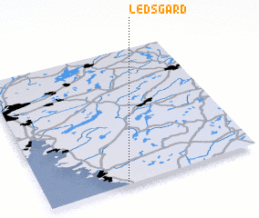 Places with similar names to Ledsgård, Sweden ::
// La Discordia (MX)
// Letskiy Reyd (RU)
Disclaimer :: Information on this page comes without warranty of any kind |
||
|
Where is Ledsgård? Elevation and coordinates ::
Latitude (lat): 57°1'0"N Longitude (lon): 12°23'0"E
Elevation (approx.): 8m (map arrows pan, magnifying glasses zoom) |
||
|
Visiting Ledsgård? Hotel/Accommodation ::
Book a hotel in Ledsgård Travel Guide ::
Buy a travel guide for Sweden rental cars ::
car rental offers GPS waypoint ::
download a GPX waypoint (PoI) of Ledsgård for your GPS receiver
|
||