|
search place name
|
||
Rämne ((( Älvsborg )), Sweden)Rämne is a town in the (( Älvsborg )) region of Sweden. An overview map of the region around Rämne is displayed below.
regional and 3d topo map of Rämne, Sweden ::

Rämne airports ::
The nearest airport is THN - Trollhattan Vanersborg, located 77.3 km south of Rämne.
Other airports nearby include LDK - Lidkoping (86.1 km south east), TRF - Torp (107.6 km west), KVB - Skovde (124.2 km south east), GSE - Gothenborg Save (137.1 km south), Nearby towns ::
Näs (1.9km south) //
Södra Backen (1.9km east) //
Norra Backen (1.9km east) //
Sinsterud (3.7km north) //
Edsviken (2.9km east) //
Hult (3.4km south west) //
Strand (5.9km north) //
Bön (4.7km north east) //
Tormansbyn (3.8km east) //
Nedre Fillingen (7.5km north) //
Övre Fillingen (7.5km north) //
Dåverud (7.5km north) //
Årbol (6.3km north east) //
Gottarsbyn (7.7km north) //
Hedalen (6.7km north west) //
Vamben (7.9km south) //
[all distances 'as the bird flies' and approximate] 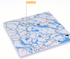 Places with similar names to Rämne, Sweden ::
Disclaimer :: Information on this page comes without warranty of any kind |
||
|
Where is Rämne? Elevation and coordinates ::
Latitude (lat): 59°0'0"N Longitude (lon): 12°6'0"E
Elevation (approx.): 138m (map arrows pan, magnifying glasses zoom) |
||
|
Visiting Rämne? Hotel/Accommodation ::
Book a hotel in Rämne Travel Guide ::
Buy a travel guide for Sweden rental cars ::
car rental offers GPS waypoint ::
download a GPX waypoint (PoI) of Rämne for your GPS receiver
|
||