|
search place name
|
||
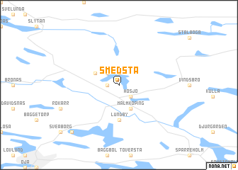
Smedsta (Södermanland, Sweden)Smedsta is a town in the Södermanland region of Sweden. An overview map of the region around Smedsta is displayed below.
regional and 3d topo map of Smedsta, Sweden ::
Smedsta airports ::
The nearest airport is NYO - Stockholm Skavsta, located 43.6 km south of Smedsta.
Other airports nearby include VST - Vasteras (47.3 km north), NRK - Norrkoeping Kungsangen (70.0 km south west), BMA - Stockholm Bromma (72.9 km east), ARN - Stockholm Arlanda (87.1 km north east), Nearby towns ::
Mälby (1.9km north) //
Stubbetorp (1.9km north) //
Sundby (0.9km west) //
Ekeby (2.1km north west) //
Hosjö (2.1km south east) //
Bråhovda (2.7km north west) //
Malmköping (3.8km south) //
Lundby (5.6km south) //
Remna (8.3km south west) //
[all distances 'as the bird flies' and approximate] 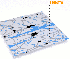 Places with similar names to Smedsta, Sweden ::
// Smedstua (NO)
// Cimota City (US)
// Summit City (US)
// Summit City (US)
// Summit East (US)
// Summit City (US)
// Smedsta (SE)
// Smedsede (FI)
// Semetište (CS)
Disclaimer :: Information on this page comes without warranty of any kind |
||
|
Where is Smedsta? Elevation and coordinates ::
Latitude (lat): 59°10'0"N Longitude (lon): 16°43'0"E
Elevation (approx.): 39m (map arrows pan, magnifying glasses zoom) |
||
|
Visiting Smedsta? Hotel/Accommodation ::
Book a hotel in Smedsta Travel Guide ::
Buy a travel guide for Sweden rental cars ::
car rental offers GPS waypoint ::
download a GPX waypoint (PoI) of Smedsta for your GPS receiver
|
||