|
search place name
|
||
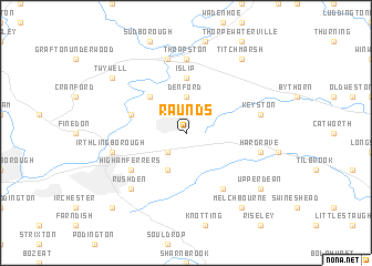
Raunds (United Kingdom)Raunds is a town in United Kingdom. An overview map of the region around Raunds is displayed below.
regional and 3d topo map of Raunds, United Kingdom ::
nearby GPS traces from timatio ::
Raunds airports ::
The nearest airport is CBG - Cambridge, located 50.4 km east of Raunds.
Other airports nearby include LTN - London Luton (52.3 km south), CVT - Coventry (64.6 km west), MHZ - Mildenhall (69.6 km east), STN - London Stansted (72.5 km south east), Nearby towns ::
Stanwick (2.2km south west) //
Ringstead (2.2km north west) //
Denford (3.7km north) //
Chelveston (3.9km south) //
Woodford (4.3km north west) //
Islip (5.6km north) //
Great Addington (3.9km north west) //
Yelden (6.0km south) //
Higham Ferrers (5.0km south west) //
Thrapston (7.4km north) //
Hargrave (4.9km east) //
Keyston (4.9km east) //
Irthlingborough (4.9km west) //
Lowick (7.5km north) //
Rushden (6.5km south west) //
Melchbourne (8.2km south east) //
Upper Dean (7.2km south east) //
Twywell (7.2km north west) //
Titchmarsh (8.2km north east) //
Wymington (8.7km south west) //
[all distances 'as the bird flies' and approximate] 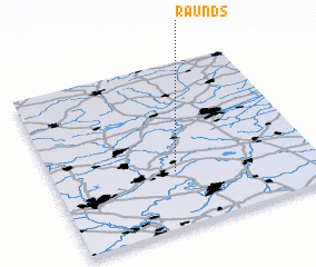 Places with similar names to Raunds, United Kingdom ::
Disclaimer :: Information on this page comes without warranty of any kind |
||
|
Where is Raunds? Elevation and coordinates ::
Latitude (lat): 52°20'0"N Longitude (lon): 0°32'0"W
Elevation (approx.): 64m (map arrows pan, magnifying glasses zoom) |
||
|
Visiting Raunds? Hotel/Accommodation ::
Book a hotel in Raunds Travel Guide ::
rental cars ::
car rental offers GPS waypoint ::
download a GPX waypoint (PoI) of Raunds for your GPS receiver
|
||