|
search place name
|
||
Bašelovići (Croatia)Bašelovići is a town in Croatia. An overview map of the region around Bašelovići is displayed below.
regional and 3d topo map of Bašelovići, Croatia ::

Bašelovići airports ::
The nearest airport is SPU - Split, located 29.4 km south east of Bašelovići.
Other airports nearby include ZAD - Zadar (71.7 km north west), OMO - Mostar (157.5 km east), PSR - Pescara (197.8 km south west), RJK - Rijeka (207.3 km north west), Nearby towns ::
Grebaštica (1.9km south east) //
Podgreben (3.7km south) //
Jadrtovac (4.0km north) //
Prhovo (5.0km south) //
Krčulj (5.2km south east) //
Krapanj (5.2km north west) //
Brodarica (5.6km north west) //
Vrpolje (5.6km north east) //
Primošten (6.6km south west) //
Šaričevi (7.3km south) //
Široke (6.3km south east) //
Ražine (6.8km north west) //
Vadalj (8.1km south) //
Južni Škugori (8.4km north) //
Sveti Petar (9.2km north west) //
[all distances 'as the bird flies' and approximate] 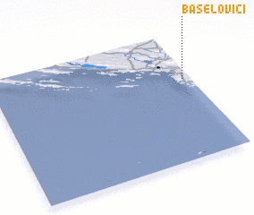 Places with similar names to Bašelovići, Croatia :: Disclaimer :: Information on this page comes without warranty of any kind |
||
|
Where is Bašelovići? Elevation and coordinates ::
Latitude (lat): 43°38'27"N Longitude (lon): 15°57'45"E
Elevation (approx.): 56m (map arrows pan, magnifying glasses zoom) |
||
|
Visiting Bašelovići? Hotel/Accommodation ::
Book a hotel in Bašelovići Travel Guide ::
Buy a travel guide for Croatia rental cars ::
car rental offers GPS waypoint ::
download a GPX waypoint (PoI) of Bašelovići for your GPS receiver
|
||