|
search place name
|
||
Putniković (Croatia)Putniković is a town in Croatia. An overview map of the region around Putniković is displayed below.
regional and 3d topo map of Putniković, Croatia ::

Putniković airports ::
The nearest airport is OMO - Mostar, located 52.0 km north east of Putniković.
Other airports nearby include DBV - Dubrovnik (70.0 km south east), TIV - Tivat (111.1 km south east), SJJ - Sarajevo (123.8 km north east), SPU - Split (124.1 km north west), Nearby towns ::
Duračići (0.7km south east) //
Balanovići (1.2km south east) //
Tomislavovac (1.5km south) //
Ruskovići (1.4km south west) //
Ivušići (1.6km south) //
Vukotići (1.9km west) //
Bogićevići (2.7km north) //
Zaradeže (2.5km south east) //
Baldasan (2.9km north east) //
Žuronja (3.2km north) //
Gornje Selo (3.1km north east) //
Brijesta (3.3km north) //
Dubrava (2.7km north west) //
Dančanje (2.9km east) //
Blaževo (4.6km north west) //
Jejići (4.3km west) //
Dedovići (4.7km east) //
Pičići (4.8km west) //
Zabrđe (5.1km east) //
Radići (5.1km east) //
Luka (5.7km north west) //
Bezunje (5.3km north east) //
Korta (5.2km west) //
Bautovići (5.4km east) //
Opuce (6.7km north east) //
Ročići (5.6km west) //
Komarna (7.6km north) //
Duboka (7.8km north) //
Žuljana (6.2km west) //
[all distances 'as the bird flies' and approximate] 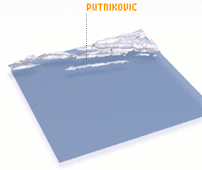 Places with similar names to Putniković, Croatia :: Disclaimer :: Information on this page comes without warranty of any kind |
||
|
Where is Putniković? Elevation and coordinates ::
Latitude (lat): 42°52'36"N Longitude (lon): 17°31'42"E
Elevation (approx.): 225m (map arrows pan, magnifying glasses zoom) |
||
|
Visiting Putniković? Hotel/Accommodation ::
Book a hotel in Putniković Travel Guide ::
Buy a travel guide for Croatia rental cars ::
car rental offers GPS waypoint ::
download a GPX waypoint (PoI) of Putniković for your GPS receiver
|
||