|
search place name
|
||
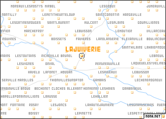
La Juiverie (France)La Juiverie is a town in France. An overview map of the region around La Juiverie is displayed below.
regional and 3d topo map of La Juiverie, France ::
La Juiverie airports ::
The nearest airport is TNF - Toussous-le-noble Toussus Le Noble, located 35.5 km east of La Juiverie.
Other airports nearby include POX - Pontoise Cormeilles En Vexin (43.1 km north east), ORY - Paris Orly (54.3 km east), LBG - Paris Le Bourget (61.6 km east), CDG - Paris Charles De Gaulle (70.6 km east), Nearby towns ::
Saulx-Richebourg (0.0km north) //
Richebourg (1.9km north) //
Maulette (2.2km south west) //
Brunel (2.4km west) //
Favières (3.7km north) //
Gressey (3.1km north west) //
Le Boulay (3.9km south) //
Bazainville (3.1km south east) //
Houdan (4.4km south west) //
Saint-Côme (5.6km south) //
Orvilliers (5.6km north) //
Le Buisson (5.6km north) //
Dannemarie (5.7km south) //
Tacoignières (4.1km north east) //
Civry-la-Forêt (5.7km north) //
Perdreauville (4.1km south east) //
Thionville-sur-Opton (6.1km south west) //
La Goupillerie (5.2km north east) //
La Rolanderie (5.2km north east) //
Boissets (5.2km north west) //
La Picotière (6.1km north west) //
Gambais (6.1km south east) //
Les Pideaux (5.2km south east) //
Saint-Lubin-de-la-Haye (4.9km west) //
Le Coudray (4.9km west) //
Richeville (4.9km west) //
Mulcent (7.5km north) //
Orval (5.2km west) //
Allemant (7.5km south) //
[all distances 'as the bird flies' and approximate] 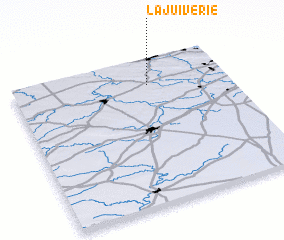
Disclaimer :: Information on this page comes without warranty of any kind |
||
|
Where is La Juiverie? Elevation and coordinates ::
Latitude (lat): 48°49'0"N Longitude (lon): 1°38'0"E
Elevation (approx.): 124m (map arrows pan, magnifying glasses zoom) |
||
|
Visiting La Juiverie? Hotel/Accommodation ::
Book a hotel in La Juiverie Travel Guide ::
Buy a travel guide for France rental cars ::
car rental offers GPS waypoint ::
download a GPX waypoint (PoI) of La Juiverie for your GPS receiver
|
||