|
search place name
|
||
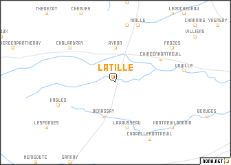
Latillé (Poitou-Charentes, France)Latillé is a town in the Poitou-Charentes region of France. An overview map of the region around Latillé is displayed below.
regional and 3d topo map of Latillé, France ::
Latillé airports ::
The nearest airport is PIS - Poitiers Biard, located 18.7 km east of Latillé.
Other airports nearby include NIT - Niort Souche (49.5 km south west), CET - Cholet Le Pontreau (88.6 km north west), ANG - Angouleme Brie Champniers (99.4 km south), TUF - Tours Val De Loire (103.7 km north east), Nearby towns ::
Ayron (5.6km north) //
Benassay (5.7km south) //
Lavausseau (7.5km south) //
Chiré-en-Montreuil (6.3km north east) //
Chalandray (7.5km north west) //
[all distances 'as the bird flies' and approximate] 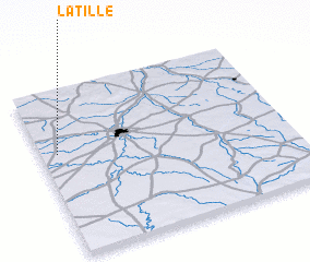 Places with similar names to Latillé, France ::
Disclaimer :: Information on this page comes without warranty of any kind |
||
|
Where is Latillé? Elevation and coordinates ::
Latitude (lat): 46°37'0"N Longitude (lon): 0°4'0"W
Elevation (approx.): 148m (map arrows pan, magnifying glasses zoom) |
||
|
Visiting Latillé? Hotel/Accommodation ::
Book a hotel in Latillé Travel Guide ::
Buy a travel guide for France rental cars ::
car rental offers GPS waypoint ::
download a GPX waypoint (PoI) of Latillé for your GPS receiver
|
||