|
search place name
|
||
Mametz (Picardie, France)Mametz is a town in the Picardie region of France. An overview map of the region around Mametz is displayed below.
regional and 3d topo map of Mametz, France ::

Mametz airports ::
The nearest airport is LIL - Lille Lesquin, located 67.0 km north of Mametz.
Other airports nearby include BVA - Beauvais Tille (76.1 km south west), CSF - Creil (84.7 km south), QKT - Kortrijk-vevelgem Wevelgem (96.5 km north), LTQ - Le Tourquet Le Touquet Paris Plage (99.0 km north west), Nearby towns ::
Carnoy (1.9km south) //
Contalmaison (2.2km north west) //
Fricourt (2.4km west) //
Montauban-de-Picardie (2.4km east) //
Bazentin (3.9km north) //
Martinpuich (3.9km north) //
Pozières (4.4km north west) //
Maricourt (4.4km south east) //
Suzanne (5.7km south) //
Longueval (4.0km north east) //
Ovillers-la-Boisselle (5.1km north west) //
Courcelette (7.4km north) //
Bécordel-Bécourt (5.1km west) //
Hardecourt-aux-Bois (5.1km east) //
Thiepval (6.6km north west) //
La Neuville-lès-Bray (7.8km south) //
Éclusier-Vaux (7.8km south) //
Bray-sur-Somme (7.8km south) //
Le Sars (7.8km north) //
Curlu (6.0km south east) //
Flers (7.3km north east) //
Étinehem (8.8km south west) //
Frise (8.8km south east) //
[all distances 'as the bird flies' and approximate] 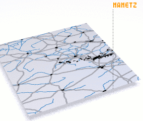 Places with similar names to Mametz, France ::
Disclaimer :: Information on this page comes without warranty of any kind |
||
|
Where is Mametz? Elevation and coordinates ::
Latitude (lat): 50°0'0"N Longitude (lon): 2°45'0"E
Elevation (approx.): 123m (map arrows pan, magnifying glasses zoom) |
||
|
Visiting Mametz? Hotel/Accommodation ::
Book a hotel in Mametz Travel Guide ::
Buy a travel guide for France rental cars ::
car rental offers GPS waypoint ::
download a GPX waypoint (PoI) of Mametz for your GPS receiver
|
||