|
search place name
|
||
Heuven (Limburg, Belgium)Heuven is a town in the Limburg region of Belgium. An overview map of the region around Heuven is displayed below.
regional and 3d topo map of Heuven, Belgium ::

Heuven airports ::
The nearest airport is MST - Maastricht, located 28.3 km east of Heuven.
Other airports nearby include LGG - Liege (38.7 km south), GKE - Geilenkirchen (46.4 km east), EIN - Eindhoven (51.9 km north), BRU - Brussels Natl (Melsbroek) (63.8 km west), Nearby towns ::
Donk (1.2km west) //
Grote Heide (1.9km south) //
Molen (1.2km east) //
Elstreken (1.2km east) //
Daalheide (1.2km east) //
Balleweier (1.2km east) //
Beverzak (2.2km south west) //
Hasseltveld (2.2km south east) //
Berkenen (2.2km north west) //
Hemmen (2.2km north west) //
Waard (2.2km north east) //
Den Teut (2.2km north east) //
Nieuweheide (3.7km south) //
Enstegen (2.3km west) //
Zonhoven (2.3km west) //
Molenheide (2.3km east) //
Ten Rijt (3.7km north) //
Keurheide (3.0km south west) //
Herkenrodeplaats (3.9km south) //
Eikenen (3.0km north west) //
Kolveren (3.0km north west) //
De Roten (3.9km north) //
Holsteen (3.0km north east) //
Ten Haagdorn (3.9km north) //
Brelaarheide (3.9km north) //
Kempenseheide (4.4km south west) //
Berenbroek (4.4km south east) //
De Zolken (4.4km north west) //
De Wolfsgaten (5.6km south) //
[all distances 'as the bird flies' and approximate] 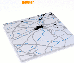 Places with similar names to Heuven, Belgium ::
Disclaimer :: Information on this page comes without warranty of any kind |
||
|
Where is Heuven? Elevation and coordinates ::
Latitude (lat): 50°59'0"N Longitude (lon): 5°23'0"E
Elevation (approx.): 50m (map arrows pan, magnifying glasses zoom) |
||
|
Visiting Heuven? Hotel/Accommodation ::
Book a hotel in Heuven Travel Guide ::
Buy a travel guide for Belgium rental cars ::
car rental offers GPS waypoint ::
download a GPX waypoint (PoI) of Heuven for your GPS receiver
|
||