|
search place name
|
||
IJsselsteyn (Limburg, Netherlands)IJsselsteyn is a town in the Limburg region of Netherlands. An overview map of the region around IJsselsteyn is displayed below.
regional and 3d topo map of IJsselsteyn, Netherlands ::

IJsselsteyn airports ::
The nearest airport is EIN - Eindhoven, located 36.7 km west of IJsselsteyn.
Other airports nearby include MGL - Moenchengladbach Monchengladbach (50.6 km south east), GKE - Geilenkirchen (59.0 km south), DUS - Duesseldorf Dusseldorf (64.1 km east), MST - Maastricht (64.2 km south), Nearby towns ::
Haag (3.9km north) //
Halte (4.4km south west) //
Weverslo (4.4km north east) //
Griendtsveen (5.6km south) //
Steegsbroek (3.5km east) //
Veulen (3.5km east) //
Volen (3.9km north east) //
Heide (3.9km north east) //
Daland (5.7km north) //
Kleindorp (6.0km north east) //
Merselo (6.0km north east) //
Merlenberg (5.0km west) //
Vredepeel (7.5km north) //
Scheide (5.0km east) //
Beek (6.5km north east) //
Endepoel (6.5km north east) //
Hiept (6.5km north east) //
Pannenschop (5.9km south west) //
Voorpeel (5.9km south west) //
Veltum (5.9km north east) //
Brabander (7.2km north east) //
Zwarteklef (7.2km north east) //
Jodenpeel (8.7km north west) //
[all distances 'as the bird flies' and approximate] 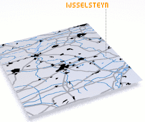 Places with similar names to IJsselsteyn, Netherlands ::
// IJsselstein (NL)
Disclaimer :: Information on this page comes without warranty of any kind |
||
|
Where is IJsselsteyn? Elevation and coordinates ::
Latitude (lat): 51°29'0"N Longitude (lon): 5°54'0"E
Elevation (approx.): 31m (map arrows pan, magnifying glasses zoom) |
||
|
Visiting IJsselsteyn? Hotel/Accommodation ::
Book a hotel in IJsselsteyn Travel Guide ::
Buy a travel guide for Netherlands rental cars ::
car rental offers GPS waypoint ::
download a GPX waypoint (PoI) of IJsselsteyn for your GPS receiver
|
||