|
search place name
|
||
Sívros (Piraiévs, Greece)Sívros is a town in the Piraiévs region of Greece. An overview map of the region around Sívros is displayed below.
regional and 3d topo map of Sívros, Greece ::

Sívros airports ::
The nearest airport is PVK - Preveza Aktio, located 30.4 km north of Sívros.
Other airports nearby include AGQ - Agrinion (61.5 km east), EFL - Keffallinia Kefallinia (62.1 km south), GPA - Patras Araxos (88.7 km south east), PYR - Andravida (100.1 km south east), Nearby towns ::
Vournikás (0.0km north) //
Álatron (2.4km north east) //
Marandokhórion (3.7km south) //
Roupakiás (3.4km north west) //
Kharadhiátika (3.4km north east) //
Áyios Ilías (4.0km north) //
Fternón (3.4km south east) //
Kondáraina (4.0km south) //
Áyios Vasílios (4.7km north west) //
Manási (4.7km north west) //
Nikolís (4.7km north west) //
Palaiokhóri (4.7km north east) //
Ágios Pétros (4.3km west) //
Katokhórion (4.3km east) //
Vlikhón (4.7km north east) //
Évyiros (5.7km south) //
Vavkerí (5.7km north) //
Kolónion (6.3km north east) //
Neokhórion (6.3km north east) //
Sívota (6.3km south east) //
Palaiokatoúna (5.7km north east) //
Póndi (5.7km south west) //
Englouví (7.4km north) //
Platístoma (7.6km north) //
Dhráganon (6.1km west) //
Vasilikí (7.1km south west) //
Chortáta (7.1km north west) //
Nidhríon (6.9km north east) //
Yénion (6.9km north east) //
[all distances 'as the bird flies' and approximate] 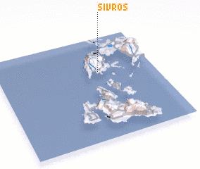 Places with similar names to Sívros, Greece ::
Disclaimer :: Information on this page comes without warranty of any kind |
||
|
Where is Sívros? Elevation and coordinates ::
Latitude (lat): 38°40'0"N Longitude (lon): 20°39'0"E
Elevation (approx.): 230m (map arrows pan, magnifying glasses zoom) |
||
|
Visiting Sívros? Hotel/Accommodation ::
Book a hotel in Sívros Travel Guide ::
Buy a travel guide for Greece rental cars ::
car rental offers GPS waypoint ::
download a GPX waypoint (PoI) of Sívros for your GPS receiver
|
||