|
search place name
|
||
Calhetas (Açores, Portugal)Calhetas is a town in the Açores region of Portugal. An overview map of the region around Calhetas is displayed below.
regional and 3d topo map of Calhetas, Portugal ::

Calhetas airports ::
The nearest airport is PIX - Pico, located 10.9 km north east of Calhetas.
Other airports nearby include HOR - Horta (15.4 km west), SJZ - Sao Jorge Island Sao Jorge (37.0 km north east), GRW - Graciosa Island Graciosa (79.7 km north east), TER - Lajes (terceira Island) Lajes (129.7 km east), Nearby towns ::
Monte (0.9km north east) //
Criação Velha (2.4km north) //
Eira (3.9km south east) //
Areia Larga (4.2km north) //
Madalena (4.2km north) //
Sete Cidades (4.7km north east) //
Cabo Branco (4.7km north east) //
Candelária (5.5km south east) //
Mirateca (6.3km south east) //
Campo Raso (6.3km south east) //
Cabeça Negra (6.3km south east) //
Cabeço Chão (7.9km north east) //
Cais do Mourato (9.4km north east) //
Rocha Vermelha (8.9km north west) //
Caminho do Meio (8.9km north west) //
Lomba (8.9km north west) //
Praia do Almoxarife (8.9km north west) //
Pedro Miguel (10.2km north west) //
Abegoaria (10.2km north west) //
Arrochela (10.2km north west) //
[all distances 'as the bird flies' and approximate] 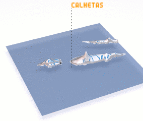 Places with similar names to Calhetas, Portugal ::
// Coalhadas (PT)
Disclaimer :: Information on this page comes without warranty of any kind |
||
|
Where is Calhetas? Elevation and coordinates ::
Latitude (lat): 38°29'45"N Longitude (lon): 28°32'30"W
Elevation (approx.): -32768m (map arrows pan, magnifying glasses zoom) |
||
|
Visiting Calhetas? Hotel/Accommodation ::
Book a hotel in Calhetas Travel Guide ::
Buy a travel guide for Portugal rental cars ::
car rental offers GPS waypoint ::
download a GPX waypoint (PoI) of Calhetas for your GPS receiver
|
||