|
search place name
|
||
Enxames (Castelo Branco, Portugal)Enxames is a town in the Castelo Branco region of Portugal. An overview map of the region around Enxames is displayed below.
regional and 3d topo map of Enxames, Portugal ::

Enxames airports ::
The nearest airport is VRL - Vila Real, located 126.3 km north of Enxames.
Other airports nearby include BJZ - Badajoz Talavera La Real (149.6 km south), OPO - Porto (162.6 km north west), SLM - Salamanca (181.6 km north east), BGC - Braganca (196.2 km north), Nearby towns ::
Carvalhal (2.3km north east) //
Capinha (4.0km north) //
Vales de Pêro Viseu (4.7km north west) //
Quinta de Santo António (5.7km north) //
Quinta da Carrapata (5.7km north) //
Quinta do Monte Leal (5.7km south) //
Fatela (4.6km south west) //
Cortiçada (6.2km south west) //
Alcaide (5.6km south west) //
Quinta de São Bento (5.7km east) //
Póvoa Palhaça (7.0km south east) //
Pêro Viseu (6.8km north west) //
Vale de Prazeres (8.5km south west) //
Ferro (9.3km north west) //
Aldeia da Mata da Rainha (9.3km south east) //
[all distances 'as the bird flies' and approximate] 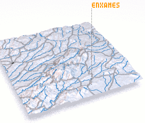 Places with similar names to Enxames, Portugal :: Disclaimer :: Information on this page comes without warranty of any kind |
||
|
Where is Enxames? Elevation and coordinates ::
Latitude (lat): 40°10'0"N Longitude (lon): 7°23'0"W
Elevation (approx.): 459m (map arrows pan, magnifying glasses zoom) |
||
|
Visiting Enxames? Hotel/Accommodation ::
Book a hotel in Enxames Travel Guide ::
Buy a travel guide for Portugal rental cars ::
car rental offers GPS waypoint ::
download a GPX waypoint (PoI) of Enxames for your GPS receiver
|
||