|
search place name
|
||
Fajão (Coimbra, Portugal)Fajão is a town in the Coimbra region of Portugal. An overview map of the region around Fajão is displayed below.
regional and 3d topo map of Fajão, Portugal ::

Fajão airports ::
The nearest airport is VRL - Vila Real, located 126.0 km north of Fajão.
Other airports nearby include OPO - Porto (138.0 km north west), BJZ - Badajoz Talavera La Real (168.5 km south east), LIS - Lisbon Lisboa (184.7 km south west), BGC - Braganca (215.2 km north east), Nearby towns ::
Ponte de Fajão (0.0km north) //
Ceiroquinho (2.3km south west) //
Casal Novo (2.3km north west) //
Relvas (2.3km north west) //
Mata (2.3km north west) //
Cavaleiros de Baixo (2.8km west) //
Ribeiro (3.7km north) //
Água dʼ Alte (4.7km north west) //
Teixeira (4.7km north west) //
Castanheira (4.7km north east) //
Praçais (5.6km south) //
Decabelos (5.7km south) //
Sardal (5.7km north) //
Enxudro (5.7km north) //
Porto Castanheiro (5.7km north) //
Sanguessuga (5.7km south) //
Boiças (4.6km south west) //
Malhada (4.6km south west) //
Parroselos (5.7km north) //
Vidual (5.6km south east) //
Camba (5.6km north east) //
Porto da Balça (5.6km north east) //
Pescanseco Fundeiro (7.4km south) //
Pescanseco Cimeiro (7.4km south) //
Açor (6.0km west) //
Ádela (6.0km west) //
Soito (6.0km west) //
Cepos (6.0km west) //
Pardieiros (7.5km north) //
[all distances 'as the bird flies' and approximate] 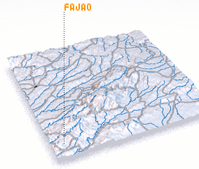 Places with similar names to Fajão, Portugal ::
Disclaimer :: Information on this page comes without warranty of any kind |
||
|
Where is Fajão? Elevation and coordinates ::
Latitude (lat): 40°9'0"N Longitude (lon): 7°55'0"W
Elevation (approx.): 669m (map arrows pan, magnifying glasses zoom) |
||
|
Visiting Fajão? Hotel/Accommodation ::
Book a hotel in Fajão Travel Guide ::
Buy a travel guide for Portugal rental cars ::
car rental offers GPS waypoint ::
download a GPX waypoint (PoI) of Fajão for your GPS receiver
|
||