|
search place name
|
||
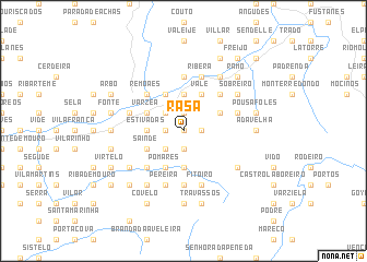
Rasa (Viana do Castelo, Portugal)Rasa is a town in the Viana do Castelo region of Portugal. An overview map of the region around Rasa is displayed below.
regional and 3d topo map of Rasa, Portugal ::
Rasa airports ::
The nearest airport is VGO - Vigo, located 35.2 km north west of Rasa.
Other airports nearby include SCQ - Santiago (91.3 km north), OPO - Porto (99.5 km south), VRL - Vila Real (100.1 km south east), BGC - Braganca (130.3 km east), Nearby towns ::
Carvalha Furada (0.0km north) //
Lourenços (0.0km north) //
Urjais (1.9km south) //
Paderne (1.4km west) //
São Paio (1.4km west) //
Lobiô (1.4km east) //
Cavaleiro Alvo (1.4km east) //
Sante (1.4km west) //
Cursães (1.9km north) //
Surribas (1.9km north) //
Roussas (1.9km north) //
Bilhões (1.9km north) //
Fontes (2.3km south west) //
Barral (2.3km north west) //
Bouços (2.3km north west) //
Prado (2.3km north west) //
Santo Amaro (2.3km north west) //
Real (2.3km north west) //
Corredoira (2.3km north west) //
Queirão (2.8km west) //
Estivadas (2.8km west) //
Cubalhão (3.7km south) //
Paçô (3.7km north) //
Cavaleiros (3.7km north) //
Oleiros (3.7km north) //
Sainde (3.3km south west) //
Crasto (3.3km north west) //
Ladrongueira (3.3km north east) //
Jugaria (3.3km north east) //
[all distances 'as the bird flies' and approximate]  Places with similar names to Rasa, Portugal ::
Disclaimer :: Information on this page comes without warranty of any kind |
||
|
Where is Rasa? Elevation and coordinates ::
Latitude (lat): 42°5'0"N Longitude (lon): 8°15'0"W
Elevation (approx.): 546m (map arrows pan, magnifying glasses zoom) |
||
|
Visiting Rasa? Hotel/Accommodation ::
Book a hotel in Rasa Travel Guide ::
Buy a travel guide for Portugal rental cars ::
car rental offers GPS waypoint ::
download a GPX waypoint (PoI) of Rasa for your GPS receiver
|
||