|
search place name
|
||
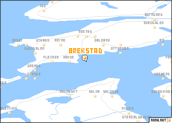
Brekstad (Sør-Trøndelag, Norway)Brekstad is a town in the Sør-Trøndelag region of Norway. An overview map of the region around Brekstad is displayed below.
regional and 3d topo map of Brekstad, Norway ::
Brekstad airports ::
The nearest airport is OLA - Orland, located 4.3 km north west of Brekstad.
Other airports nearby include TRD - Trondheim Vaernes (66.6 km east), KSU - Kristiansund Kvernberget (112.6 km south west), RRS - Roros (148.9 km south east), Nearby towns ::
Hovde (1.6km west) //
Dalebru (4.1km north east) //
Røstad (5.6km north) //
Døsvik (5.6km north) //
Innstrand (5.6km north) //
Opphaug (5.6km north) //
Røyne (4.5km north west) //
Flatnes (3.3km west) //
Selva (7.5km south) //
Ottersbo (3.8km north east) //
Mølnbukt (7.6km south) //
Fremstad (7.6km south) //
Austrått (5.0km north east) //
Selvnes (7.8km south) //
[all distances 'as the bird flies' and approximate] 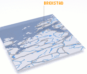 Places with similar names to Brekstad, Norway ::
Disclaimer :: Information on this page comes without warranty of any kind |
||
|
Where is Brekstad? Elevation and coordinates ::
Latitude (lat): 63°41'0"N Longitude (lon): 9°41'0"E
(map arrows pan, magnifying glasses zoom) |
||
|
Visiting Brekstad? Hotel/Accommodation ::
Book a hotel in Brekstad Travel Guide ::
Buy a travel guide for Norway rental cars ::
car rental offers GPS waypoint ::
download a GPX waypoint (PoI) of Brekstad for your GPS receiver
|
||